Online searches about whether a hurricane could threaten California have spiked this week amid social-media posts and shared long-range weather-model maps that overstated the danger, along with coverage of two active Eastern Pacific storms. No hurricane is forecast to make landfall in California. Two real storms are active in the Eastern Pacific — Tropical Storm Marie and Hurricane Karina — and swells from Marie could bring dangerous surf and possible coastal flooding to Southern California around the Labor Day weekend, Sept. 5-7, 2026.
Key facts
- No hurricane is forecast to make landfall in California; the search spike appears linked to social-media posts and shared long-range model maps that overstated the risk, plus coverage of two active Eastern Pacific storms.
- Tropical Storm Marie: about 470 miles south of the tip of Baja California, winds of 65 mph as of the National Hurricane Center’s 8 p.m. MST advisory Tuesday, Sept. 1; forecast to become a hurricane by Wednesday night (Sept. 2-3).
- Hurricane Karina: reached Category 4 strength (winds near 140 mph) around Aug. 30-31; now about 1,385 miles west of Baja California, moving west, with no landfall risk for California.
- As of a Sept. 2 check of the National Weather Service’s alert system, no hurricane, tropical storm, high-surf or coastal-flood watch or warning was in effect for California.
- Swells from Marie could bring dangerous surf, rip currents and possible coastal flooding to Southern California around Labor Day weekend, Sept. 5-7, 2026.
- Evening high tides are forecast to reach around 7 feet by Labor Day, adding to the coastal flooding and erosion risk.
- No hurricane has made direct landfall in California in recorded modern history.
The two storms behind the search spike
Tropical Storm Marie is the closer of the two systems. It formed in the Eastern Pacific off the Baja California Peninsula. As of the National Hurricane Center’s advisory issued 8 p.m. MST Tuesday, Sept. 1, Marie was centered about 470 miles south of the southern tip of Baja California, with maximum sustained winds of 65 mph, moving northwest at 9 mph. The center forecast Marie to strengthen into a hurricane by Wednesday night — the night of Sept. 2 into Sept. 3.
Hurricane Karina, meanwhile, is much farther out to sea and carries no landfall risk for California, though its swells will add modestly to the surf described below. It reached Category 4 strength around Aug. 30-31, with sustained winds near 140 mph, and as of a Tuesday evening advisory was located roughly 1,385 miles west of Baja California, moving west at 12 mph. The center reported no coastal watches or warnings in effect and no landfall risk.
Why the landfall claims don’t hold up
The National Hurricane Center’s official forecast track for Marie does not show the storm making landfall anywhere in California, and forecasters describe a direct hit on the state as highly unlikely. The Washington Post and the San Francisco Chronicle both published pieces around Sept. 1 pushing back on the idea that a hurricane is on its way to the state, and only a minority of forecast models even show a tropical system reaching Southern California at all, according to local coverage — most keep Marie’s track and any moisture away from direct landfall in Southern California.
History backs up the skepticism. No hurricane has made direct landfall in California in recorded modern history. The closest precedent is the 1939 California tropical storm, which arrived at tropical-storm strength, not hurricane strength. The remnants of Hurricane Hilary brought major rain and flooding to Southern California in August 2023, but that, too, was not a direct hurricane landfall — a storm’s leftover moisture reaching the state is a very different thing from a hurricane striking it.
What Southern California could actually see this weekend
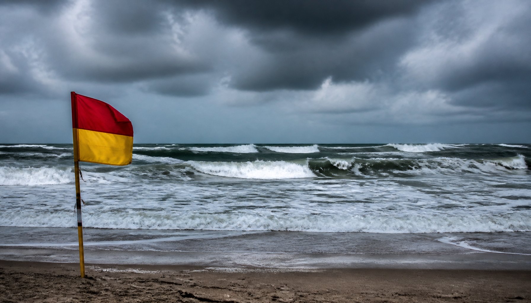
Even without a direct hit, swells generated by Marie — and to a lesser extent Karina — are forecast to reach the Southern California coast around the Labor Day weekend, raising the risk of high surf and dangerous rip currents (strong channels of water that pull swimmers away from shore), along with possible coastal flooding on south-facing beaches. Evening high tides along the coast are forecast to climb to around 7 feet by Labor Day itself, which combined with the swell raises the chance of minor-to-moderate coastal flooding and beach erosion. The size of the surf itself has not been forecast in feet.
As of a live check of the National Weather Service’s alert system on Sept. 2, no hurricane, tropical storm, high-surf or coastal-flood watch or warning was active for California. The alerts in effect that day were unrelated wind, frost and fire-weather advisories in other parts of the state. That could change as the weekend gets closer, so anyone planning a Labor Day beach trip should check the National Weather Service’s current alerts before heading out.
Rain looks like a secondary risk, and two forecasts measuring different things explain why their numbers don’t match: MyNewsLA’s is the odds of a heavy regional rainfall total, and Hoodline’s is a day-by-day chance of any rain in Los Angeles.
- MyNewsLA: citing forecast models, says a dry weekend is the more likely outcome overall, with only a small chance of heavy regional rain.
- Hoodline: projects warming through the weekend — highs near 83-86F by Labor Day — with a roughly 29% chance of rain Saturday afternoon, a roughly 50-60% chance of light rain Sunday through Tuesday, and a roughly 10-15% chance of heavier rain or thunderstorms. One forecast also notes localized flash-flood potential in mountainous and urban areas from late this week into early next week.
Weather.com reported that even if some of Marie’s moisture drifts north, it would likely weaken sharply from dry air and cooler ocean water before getting close to the coast, similar to what happened with Hilary in 2023.
The bigger picture
AccuWeather’s pre-season outlook projected 17-22 named storms and 9-13 hurricanes for the Eastern Pacific in 2026.
For now, the practical takeaway for anyone near the Southern California coast this week is simple: no hurricane is forecast to make landfall in California, but the surf could get rough and rip currents dangerous heading into the holiday weekend, so it is worth checking the latest National Weather Service alerts before getting in the water.