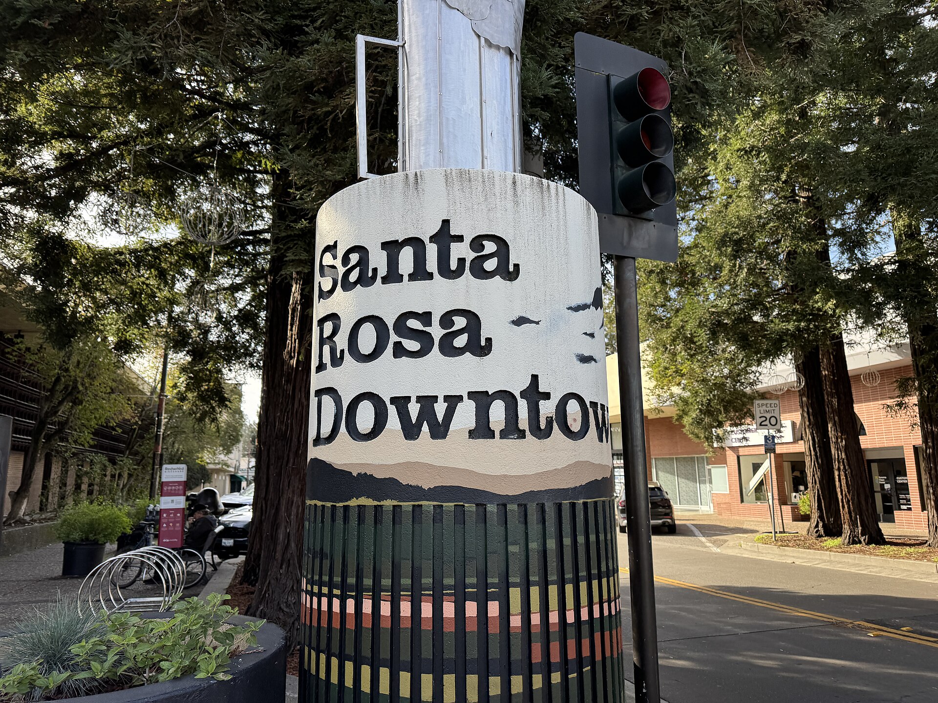
A magnitude 3.5 earthquake shook the Santa Rosa area of Sonoma County, California, on Thursday morning, according to the U.S. Geological Survey. It struck at 10:33 a.m. Pacific time — 17:33 UTC — on Sept. 3, 2026. The epicenter was about 2 miles (3 kilometers) east-southeast of the community of Larkfield-Wikiup, roughly 4 miles north of downtown Santa Rosa. The quake struck at a depth of 7.4 kilometers (about 4.6 miles), USGS said.
Key facts
- Magnitude: 3.5, based on USGS’s more precise reading of 3.54
- When: Thursday, Sept. 3, 2026, at 10:33 a.m. Pacific time (17:33 UTC)
- Location: About 2 miles (3 km) east-southeast of Larkfield-Wikiup, roughly 4 miles north of downtown Santa Rosa, in Sonoma County, California
- Depth: 7.4 kilometers (about 4.6 miles)
- Felt reports: 1,629 “Did You Feel It?” submissions logged by USGS as of early Thursday afternoon — a provisional count that typically keeps rising
- Shaking intensity: Community-reported intensity of 3.4 (“weak” on USGS’s scale); USGS instruments separately recorded 3.645 — both distinct from the 3.5 magnitude
- Damage or injuries: No statement from Sonoma County, the City of Santa Rosa or USGS as of early Thursday afternoon
- Fault: Not identified by USGS as of early Thursday afternoon
How widely it was felt
As of early Thursday afternoon, USGS had logged 1,629 “Did You Feel It?” reports from people describing the shaking — the clearest measure so far of how widely it was felt, since that count typically keeps climbing for hours after an earthquake. USGS’s more precise magnitude reading, 3.54, is what the agency rounds to the 3.5 being reported.
Magnitude and intensity measure two different things: magnitude is the size of the earthquake at its source, while intensity is how strongly the shaking was felt or estimated at the surface. On USGS’s intensity scale, Thursday’s strongest shaking rated “weak.” People who felt it reported a community intensity of 3.4. USGS’s own ground-motion instruments separately recorded a reading of 3.645.
That felt-report count is provisional and tends to rise as more people submit reports; the magnitude, depth and location above come from USGS’s reviewed record.
No damage or injury statement from officials
Neither Sonoma County’s emergency management office nor the City of Santa Rosa had posted any statement about damage or injuries as of the same time; neither homepage mentioned the earthquake at all. USGS itself issued no loss-and-damage alert and no tsunami warning for the event.
No fault identified
USGS has not attributed Thursday’s earthquake to a specific named fault. A preliminary analysis based on about 102 stations indicated strike-slip-dominant faulting, but the agency’s Northern California Seismic Network had not published a tectonic summary identifying which fault was involved as of early Thursday afternoon.
Smaller earthquakes in the region
USGS catalogued seven additional smaller earthquakes in the wider region around Thursday’s quake, ranging from magnitude 1.6 to 2.6. Most struck in the day and a half before it, in and around Middletown, Cobb, Hidden Valley Lake and Cloverdale in Lake County, plus one near Hayward. Middletown, Cobb, Hidden Valley Lake and Cloverdale all sit near The Geysers geothermal field, an area known for frequent minor seismic activity. One more, magnitude 1.7 near Cloverdale, followed about five minutes after it. USGS’s data does not identify any of these as related to Thursday’s earthquake, and the agency has not published an aftershock forecast for it. USGS had not published a probability figure for further shaking as of early Thursday afternoon.
Sources and further reading
- USGS Earthquake Detail Feed v1.0 — nc75429272.geojson
- USGS FDSN Event Query — regional catalog window (starttime=2026-09-02, minmag 1.5, 120 km radius)
- USGS FDSN Event Query — nc75429272 (geojson)
- USGS Earthquake Hazards Program — program page
- Sonoma County government homepage
- earthquake.usgs.gov
- earthquake.usgs.gov