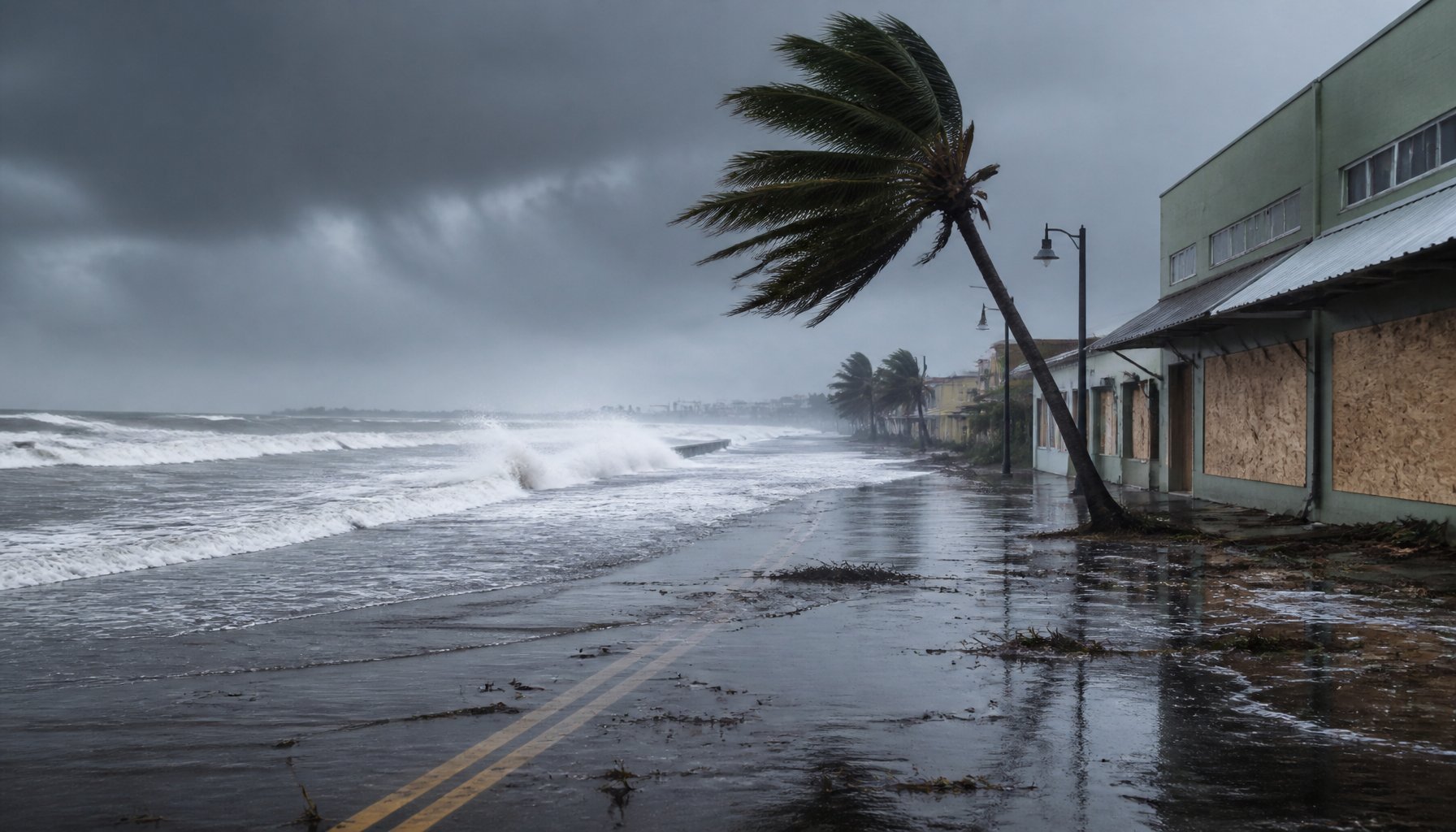
Updated Thursday, Sept. 10, 2026 — the storm has passed. Hurricane Lowell made its closest approach to Hawaii on Monday night, passing less than 50 miles from Niihau as a Category 2 storm — the strongest to hit the state since Hurricane Iniki in 1992. It is now linked to at least two deaths, and Gov. Josh Green estimates damage in the hundreds of millions of dollars, comparing the overall destruction to Iniki’s roughly $3 billion toll. On Kauai, the storm damaged oceanfront resorts, knocked out power and tore up roads; on Lanai, a cargo port supplying much of the island’s food and fuel was left inoperable. As of Thursday, about 16,000 customers remained without power, down from more than 60,000 at the height of the storm. The forecast-stage updates below are kept as a record of how the storm was tracked before it arrived.
Updated Sunday, Sept. 6, 2026. Hurricane Lowell had made its forecast turn north and a Tropical Storm Warning was then in effect for Kauai and Niihau — an upgrade from the watch-free situation described when this article was first published. As of the 8 a.m. HST advisory Sunday, Lowell was a Category 3 hurricane with maximum sustained winds of 125 mph, moving north-northwest at about 6 mph. Its center is forecast to pass roughly 110 miles west of Niihau and 150 miles west of Kauai from late Monday night into Tuesday morning, still as a powerful hurricane. Tropical-storm conditions are expected to reach Kauai and Niihau by Monday afternoon.
Key facts
- Current advisories: Tropical Storm Warning for Kauai and Niihau; a Hurricane Warning covers part of Papahanaumokuakea Marine National Monument (Nihoa to French Frigate Shoals)
- Category: 3, with maximum sustained winds of 125 mph, moving north-northwest at about 6 mph (8 a.m. HST Sunday, Sept. 6)
- Closest approach: about 110 miles west of Niihau and 150 miles west of Kauai, late Monday night into Tuesday morning
- Winds expected on Kauai: sustained 35 mph to more than 55 mph, with higher gusts
- Rain: 6 to 8 inches forecast for Kauai, Niihau and the Big Island, with isolated totals over 12 inches; some Kauai totals could top 14 inches
- Storm surge: water levels 1 to 3 feet above normally dry ground in Kauai County, up to 1 foot on Oahu if the peak coincides with high tide
- Surf: waves up to about 14 feet across the state
- Rainfall forecast: The hurricane center’s Friday-night advisory forecasts 3 to 6 inches for Kauai and the Big Island (isolated totals could top 10 inches), 2 to 4 inches for Maui, and 1 to 2 inches elsewhere; the Hawaii Emergency Management Agency’s Sept. 4 update said about 5 inches was likely statewide, with localized totals of 10 to 20 inches possible, so estimates vary by source.
- State response: Gov. Josh Green signed a statewide emergency proclamation Sept. 3 naming Lowell, Hurricane Karina and Tropical Storm Marie; no evacuations, curfew or closures have been ordered
Where the storm stood Friday night
When this article was first published, Lowell was a Category 4 hurricane with maximum sustained winds of 155 mph and a central pressure of 925 millibars, per the Central Pacific Hurricane Center’s 11 p.m. HST advisory Friday, Sept. 4. It sat near 13.3 degrees north, 161.9 degrees west — about 610 miles south-southwest of Honolulu — moving west at just 7 mph, with hurricane-force winds extending up to 60 miles from the center and tropical-storm-force winds as far as 160 miles. No watch or warning had been issued for Hawaii at that point. The forecast turn described below has since happened.
Storm track and forecast uncertainty
Forecasters expected Lowell to slow further through Saturday, then make a sharp turn north or north-northeast on Sunday, Sept. 6, as an approaching weather system steered it toward the islands. The storm’s center is forecast to come closest to the westernmost main Hawaiian Islands — Niihau and Kauai — late Monday, Sept. 7, into Monday night, with Oahu also within the area of concern. Exactly how close remains uncertain. The Central Pacific Hurricane Center’s own forecast discussion says its computer models disagree widely: some keep Lowell more than 500 miles west of Niihau, missing the islands, while others bring it directly over or near Kauai and Oahu. No landfall has been forecast either way, and the agency describes the outcome as still an open question.
Watches, warnings and surf
A Tropical Storm Warning is now in effect for Kauai and Niihau, and a Hurricane Warning covers part of Papahanaumokuakea Marine National Monument, from Nihoa to French Frigate Shoals. When this article was first published on Friday night, no watch or warning had been issued for any Hawaiian island — the only statewide alert then was a High Surf Advisory, posted at 3:51 p.m. Friday for south- and east-facing shores of every island plus west-facing shores of the Big Island, calling for surf of 12 to 14 feet driven by swell from both Lowell and Hurricane Karina. The Central Pacific Hurricane Center had said watches could follow for the westernmost islands as soon as Saturday, Sept. 5, if Lowell’s track held; it did, and the warning followed.
Rain, flooding and wind risk
Beyond the surf, the hurricane center’s Friday-night advisory forecasts 3 to 6 inches of rain for Kauai and the Big Island, with isolated totals that could top 10 inches; 2 to 4 inches for Maui; and 1 to 2 inches for the rest of the islands. The Hawaii Emergency Management Agency’s Sept. 4 update also said about 5 inches was likely statewide, with localized totals of 10 to 20 inches possible, so rainfall estimates vary by source. That rain carries a risk of flash flooding and mudslides in steep terrain. Hawaii’s Emergency Management Agency has modeled a worst-case scenario in which winds could reach up to 95 mph in Kauai County if Lowell’s track brings it closest to the islands. Dangerous surf and rip currents are expected on south- and west-facing shores from Sunday through Tuesday regardless of exactly where Lowell’s center ends up; HIEMA (Hawai’i Emergency Management Agency) also expects dangerous storm surge on those shores. Forecasters also expect Lowell itself to weaken as rising wind shear takes hold this weekend, meaning it would likely still be near major-hurricane strength — around Category 3 — by the time it makes its closest pass Monday night.
How Lowell has changed strength
Lowell’s reported intensity fluctuated from Category 3 to Category 5 over the past several days: it briefly reached Category 5 strength, with 160 mph winds, on Sept. 2 while several hundred miles south of Hilo, weakened, was reported at about 125 mph (Category 3) at 11 p.m. HST Sept. 3, and then fluctuated again on Sept. 4. Some outlets reported it touching Category 5 again during the afternoon and evening of Sept. 4, but the most recent official advisory — the one issued Friday night — places it at Category 4 with 155 mph winds.
Hawaii’s emergency declaration
Hawaii Gov. Josh Green signed a statewide emergency proclamation on Sept. 3 that names Lowell along with Hurricane Karina and Tropical Storm Marie. Citing the state’s ongoing recovery from an earlier storm, Green said the new declaration means “we are not waiting for another storm to get close before preparing.” The order activates the Hawaii National Guard and lifts the state’s normal $10 million cap on disaster spending, but it does not order evacuations, a curfew, or the closure of schools, businesses or government offices — none of those steps has been announced. Karina and Marie are separate storm systems named in the proclamation; Karina is also contributing to the swell affecting Hawaii, while their tracks and intensities are outside this update.
Kauai’s preparations
Kauai County has already begun ground-level preparations: crews have been clearing drainage systems and staging equipment in flood-prone areas, six high-water rescue vehicles have been sent to the island, and at least two state parks have closed to camping. At a briefing Friday afternoon, Hawaii Adjutant General Maj. Gen. Stephen Logan and Kauai Mayor Derek Kawakami walked through the county’s readiness steps. Some island officials and local media have compared the situation to Hurricane Iniki, which struck Kauai in 1992 — 34 years ago — because Lowell could take a similar late hook toward the island.
Timeline
- Sept. 2: Lowell briefly strengthens to Category 5 (160 mph winds) several hundred miles south of Hilo, then weakens back to Category 4
- Sept. 3: Gov. Josh Green signs a statewide emergency proclamation naming Lowell, Hurricane Karina and Tropical Storm Marie
- Sept. 4 (afternoon/evening): Some outlets report Lowell reaching Category 5 strength again
- Sept. 4, 11 p.m. HST: Central Pacific Hurricane Center’s advisory places Lowell at Category 4, 155 mph winds, 925 mb pressure
- Sept. 5 (Saturday): High Surf Advisory in effect through 6 p.m.; a hurricane watch for Hawaii’s westernmost islands could be issued if Lowell’s track holds
- Sept. 6 (Sunday): Lowell expected to make a sharp turn north or north-northeast
- Sept. 7 (Monday night): Storm’s center forecast to pass closest to Niihau and Kauai, likely weakened to near Category 3 strength
What happens next
For now, the clearest markers to watch are the ones the hurricane center itself flagged:
- Whether it issues a watch for Kauai and Niihau as soon as Saturday
- Whether Lowell makes its expected turn north on Sunday
- How much it has weakened by the time it passes closest to the islands late Monday night