Update, Sept. 7, 2026: Marie has weakened below hurricane strength. The National Hurricane Center’s Sunday-evening advisory puts Tropical Storm Marie at 60 mph sustained winds, centred near 24.8N 125.3W and moving west-northwest, with the storm expected to become post-tropical within about a day and a half. Large swells from it are still reaching the Baja California Peninsula and Southern California, so the beach hazards described below remain the live part of this story.
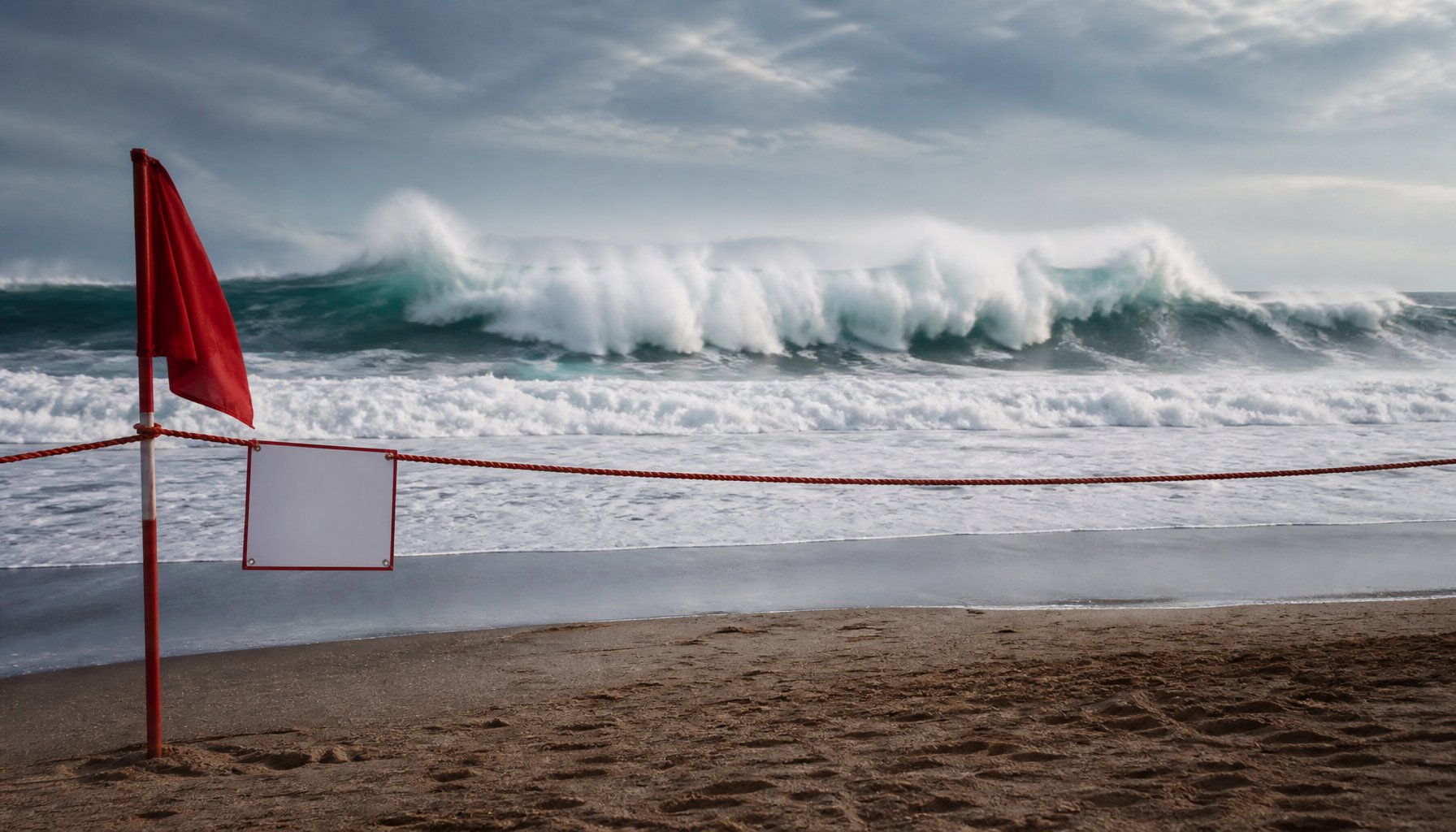
Marie will not come ashore in California. But the storm, spinning in the Pacific hundreds of miles offshore, has already flooded Seal Beach’s 8th Street and 10th Street beach parking lots, closed them through Wednesday morning, and put Los Angeles County lifeguards on alert for a sharply elevated rescue load — all without the storm itself ever reaching the coast.
Key facts
- Storm status: Tropical Storm Marie, 60 mph sustained winds, as of the National Hurricane Center’s Sunday-evening advisory, September 7, 2026 (it was a Category 1 hurricane with 80 mph winds a day earlier)
- Location: About 800 miles west of the southern tip of Baja California, moving northwest at 9 mph
- Track: Curves northwest, away from the coast — no coastal watches or warnings are in effect for the storm itself
- Forecast to weaken further: Expected to become a post-tropical remnant low around Wednesday, September 9
- Advisories: High Surf and Coastal Flood Advisories through 11 p.m. PDT Tuesday, September 8
- Areas covered: Catalina and Santa Barbara Islands, Ventura County, and Los Angeles County beaches; a separate advisory covers San Diego and Orange County coastal areas
- Forecast waves: 5-8 feet (local sets to 10 feet) for LA and Ventura beaches; 6-10 feet for San Diego and Orange County’s south- and southwest-facing shorelines
- High tides: Near 7 feet, adding to coastal flooding risk
- Closures: Seal Beach’s 8th Street and 10th Street lots, closed through Wednesday morning; part of the Laguna Beach lot, closed for erosion
- Casualties: No deaths or injuries have been confirmed as tied to Marie’s surf or rip currents
Storm status: Category 1, weakening, staying offshore
As of the National Hurricane Center’s 8 a.m. PDT advisory on Sunday, September 6, 2026, Marie was a Category 1 hurricane with sustained winds of 80 mph, centered roughly 800 miles west of the southern tip of Baja California and moving northwest at about 9 mph. The storm had been notably stronger just two days earlier, before it lost its eye and began steadily weakening. The National Hurricane Center expects that decline to continue, with Marie breaking down into a post-tropical remnant low — a former tropical system that has lost the warm, organized core that made it a hurricane — by around Wednesday, September 9.
Why California is affected without a direct hit
No coastal watches or warnings are in effect for the storm itself, and its forecast track curves it northwest, away from the coast, the entire way. That is why Southern California is feeling Marie without seeing it: the storm’s swell is reaching the coast even though its center will stay far out at sea.
Advisories and wave forecast through Tuesday
The National Weather Service has High Surf and Coastal Flood Advisories running through 11 p.m. PDT Tuesday, September 8, covering Catalina and Santa Barbara Islands, Ventura County, and Los Angeles County beaches, along with a second advisory for San Diego and Orange County coastal areas. Forecasters expect breaking waves of 5 to 8 feet, with local sets to 10 feet, along LA and Ventura beaches. Farther south, forecasters expect 6 to 10 feet of breaking waves on San Diego and Orange County’s south- and southwest-facing shorelines, and 4 to 7 feet on west-facing shores. Combined with evening high tides pushing close to 7 feet, officials are warning of minor to moderate coastal flooding on top of what they describe as widespread, life-threatening rip currents.
Flooding and closures in Seal Beach and Laguna Beach
That combination has already caused damage. In Seal Beach, ocean water flooded the 8th Street and 10th Street beach parking lots near the pier; both are closed through Wednesday morning. One vehicle was overwhelmed by the floodwater, and bystanders pulled those inside out; local reporting on the rescue did not say whether they were hurt. Part of the parking lot in Laguna Beach is also closed because of erosion. The reporting reviewed for this article does not establish whether other popular Southern California beaches, including Santa Monica, Venice or Huntington Beach, have closures. Beachgoers there, as anywhere else along the coast beyond Seal Beach and Laguna Beach, should check with their local city or county before heading out.
Lifeguards bracing for a surge in rescues
Los Angeles County lifeguards said they were bracing for a sharply elevated number of water rescues over the holiday weekend — well above what they handle on an ordinary day — a projection from ocean lifeguard specialist Jake Miller, not a final count of rescues actually carried out. The wave figures in this article aren’t a contradiction of each other — they’re two different descriptions of the same stretch of coast, one official and one from the water. The 5-to-8-foot figure is the Weather Service’s official advisory forecast, while Miller, describing what lifeguards were actually seeing on the water, put conditions at 3-to-5-foot waves with occasional 6-to-8-foot sets. No deaths or injuries tied to Marie’s surf or rip currents have been confirmed.
Clearing up two viral mix-ups
Two other points of confusion are worth clearing up. A hurricane in the Eastern Pacific this week did reach Category 4 strength, but it was Karina, a separate, more powerful storm active in the same window — not Marie. And viral claims of 30-foot waves slamming The Wedge in Newport Beach trace back to a different Hurricane Marie, from August 2014; nothing close to that has been forecast for this storm, whose forecast wave heights reach around 10 feet in Southern California.
What happens next
For now, the advisories are set to expire at 11 p.m. PDT on Tuesday, and Marie itself is expected to fall apart into a remnant low by Wednesday — which should start easing the swell, even though officials have not given an exact time for surf and rip currents to return to normal. Until then, the guidance from lifeguards and the Weather Service is the same it always is for dangerous surf: stay out of closed areas, respect posted rip current warnings, and don’t assume calm-looking water near shore means the current underneath is calm too.
Is Hurricane Marie the same storm that reached Category 4 this week?
No. A separate, more powerful Eastern Pacific storm called Karina reached Category 4 strength in the same window. Marie is a distinct, weaker system that has been steadily losing strength.
Are 30-foot waves really expected at The Wedge in Newport Beach?
No. Viral claims of 30-foot waves at The Wedge trace back to a different storm, also named Hurricane Marie, from August 2014. Nothing close to that has been forecast for this storm — forecast wave heights for this event reach around 10 feet in Southern California.
Sources and further reading
- High Surf, Rip Currents, and Potential Coastal Flooding Forecast for Labor Day Weekend
- NWS Alerts API — High Surf Advisory, California (query window Sept 4-7, 2026)
- Active alerts for California
- NWS active alerts: Coastal Flood Advisory, California
- Hurricane Marie at 21.8N-120.4W (satellite floater)
- NWS active alerts: High Surf Advisory, California
- Hurricane Marie Advisory (mirror)