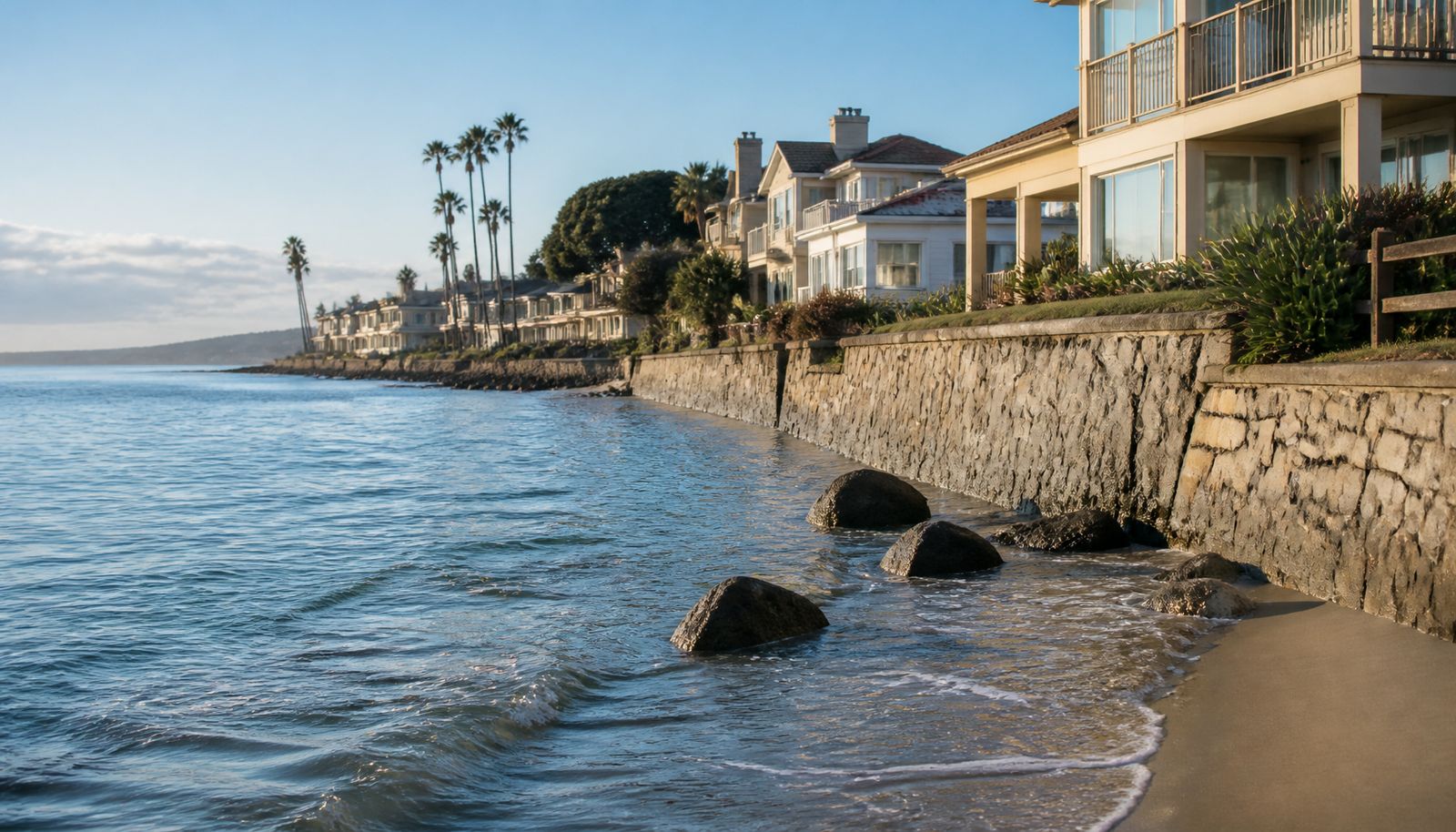
A band of unusually warm ocean water is moving north along the Pacific coast, and it’s about to make California’s sea level noticeably higher for weeks at a stretch. The surge, known as a coastal Kelvin wave, is expected to push sea levels along the California coast to roughly a foot above normal — in the range of 10 to 14 inches — as it fully arrives in October 2026, according to NOAA (National Oceanic and Atmospheric Administration) sea-level data and research from Scripps Institution of Oceanography, including oceanographer Mark Merrifield, director of the school’s Center for Climate Change Impacts and Adaptation.
The wave already swept past South and Central America and is now moving north along the coast at roughly 6 mph, according to NOAA Fisheries. It’s expected to reach Cabo San Lucas by late September, arrive off Southern California in late September or early October, and reach the San Francisco Bay Area in the first or second week of October.
Past strong El Niños — including 1982-83, 1997-98 and 2023-24 — pushed San Francisco Bay sea levels up by roughly a foot at their peak, giving a sense of the kind of temporary rise expected again this time.
Key facts
- Sea-level rise: Roughly a foot above normal along the California coast, arriving fully in October 2026.
- Wave path: already past South and Central America, moving north at roughly 6 mph; expected off Southern California in late September/early October and in the San Francisco Bay Area by the first or second week of October.
- El Niño strength: NOAA puts the odds of a “very strong” El Niño this fall and winter at 95%, with a 69% chance the Relative Oceanic Niño Index (RONI (Relative Oceanic Nino Index)), a measure of El Niño strength, reaches at least +2.5°C — a threshold that would exceed the strength of any El Niño event since 1950.
- Niño 3.4 anomaly: reached +2.6°C for the week centered on August 26 — the highest level recorded at this stage of an El Niño’s development in the post-1950 record.
- Bigger risk window: king tides return around Thanksgiving, Christmas and again in late January — when a storm combined with still-elevated water could cause real flooding.
- Flood-risk math: every 2 to 4 inches of sea-level rise roughly doubles flood risk for West Coast communities built at or near sea level, according to researcher Patrick Barnard.
Timeline
- Already: Kelvin wave has swept past South and Central America, moving north along the coast at roughly 6 mph.
- Late September 2026: Wave reaches Cabo San Lucas.
- Late September-early October 2026: Wave arrives off Southern California.
- First or second week of October 2026: Wave reaches the San Francisco Bay Area, with sea levels expected to be roughly a foot above normal.
- Around Thanksgiving: First of the winter’s king tides returns.
- Around Christmas: King tides return again.
- Late January: King tides return a third time — the last of the three windows when a storm could combine with still-elevated sea levels.
What a coastal Kelvin wave actually is
A coastal Kelvin wave isn’t the kind of wave that breaks on a beach — it’s a much larger, slower phenomenon. During El Niño, the trade winds that normally blow across the equatorial Pacific reverse direction, pushing a broad mass of warm water toward South America. That warm water then travels north along the coast as a Kelvin wave, temporarily raising sea levels wherever it passes. Ocean water off Southern California is already running as much as 6 degrees Fahrenheit warmer than normal, according to Scripps Institution of Oceanography. The incoming wave is expected to weaken coastal upwelling, which normally brings cold water up from the deep.
This isn’t the first Kelvin wave to reach California this year. A smaller one passed through in May and June, but researchers expect this fall’s wave to bring more significant effects.
Why this El Niño stands out
The event pushing that water north is shaping up to be one of the strongest El Niños on record.
NOAA’s Climate Prediction Center puts the odds of a “very strong” El Niño this fall and winter at 95%, up from 81% just a month earlier. It also puts the odds at 69% that the index reaches at least +2.5°C, a threshold that would exceed the strength of any El Niño event since 1950.
The clearest sign of that strength is the Niño 3.4 sea-surface-temperature anomaly — the reading NOAA uses to gauge an El Niño’s intensity. For the week centered on August 26, it reached +2.6°C, the highest level recorded at this stage of an El Niño’s development in the post-1950 record.
Dillon Amaya, a research physical scientist at NOAA’s Physical Sciences Laboratory in Boulder, Colorado, has described the Kelvin wave’s arrival as one of the first indications that this El Niño is really occurring.
Will it cause flooding this fall? Probably not
Despite the size of the swell, forecasters don’t expect it to flood the coast when it arrives. September and October bring some of the lowest ordinary tides of the year in California, so the extra foot of water isn’t expected to push tides high enough on its own to flood roads or property.
The bigger concern is winter. California’s “king tides” — the highest ordinary tides of the year — return around Thanksgiving and Christmas, and again in late January. If the El Niño-driven high water is still elevated when those king tides arrive, and a storm hits at the same time, the combination could produce some of the highest coastal water levels California has seen. Scripps coastal geomorphologist Adam Young has described that combination of heavy rain, powerful waves and elevated sea level arriving together as a “triple threat” for the coast.
The stakes of even a modest rise are real: Patrick Barnard, research director at UC Santa Cruz’s Center for Coastal Climate Resilience and a longtime former U.S. Geological Survey coastal-hazards researcher, has said every 2 to 4 inches of sea-level rise roughly doubles flood risk for West Coast communities built at or near sea level.
What isn’t in place yet
A review of announcements from Cal OES, the California Coastal Commission and Bay Area city and county agencies found no coastal-preparedness guidance specifically tied to this fall’s forecast. The state does have standing sea-level-rise policies that predate this event — the California Coastal Commission’s Sea Level Rise Policy Guidance, first issued in 2015 and updated since, and a state law, SB 272, that requires local governments to build sea-level-rise plans into their coastal programs by January 1, 2034 — but nothing yet connects those broader, general frameworks to this particular wave.
For coastal residents, the practical takeaway is to treat this fall’s rise as a preview rather than a flood threat, and to watch the calendar rather than the horizon: the real risk window is around Thanksgiving, Christmas and again in late January, when this fall’s elevated water could combine with the year’s highest tides and, if a storm hits at the same time, produce the kind of coastal flooding this fall’s rise on its own is not expected to cause. One concrete thing to watch for: the National Weather Service already issues ‘Minor Coastal Flood Advisory’ bulletins when high surf combines with high tides — it did so for San Diego and Orange County in early September, flooding some low-lying parking lots, parks and roads — and that’s the kind of advisory likely to appear again if this fall’s elevated water is still in place when the winter king tides arrive.