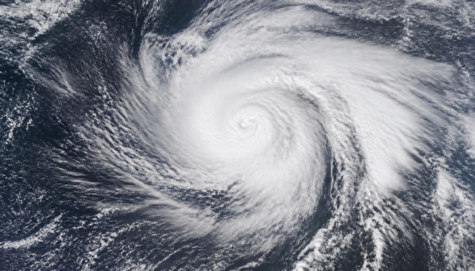
As of Monday, Sept. 14, 2026, the National Weather Service’s live alerts system shows zero active Tropical Storm or Hurricane Warnings or Watches anywhere in the United States. The National Hurricane Center is tracking three systems well away from U.S. coastlines: Tropical Storm Norbert and Tropical Depression Fifteen-E, both in the Eastern Pacific, and a disorganized disturbance in the central Atlantic. None currently threatens land.
Key facts
- No Tropical Storm or Hurricane Warnings or Watches are in effect anywhere in the US as of Monday, Sept. 14, 2026.
- Norbert: about 1,125 miles east of Hilo, Hawaii; 40 mph winds; could turn post-tropical as soon as Tuesday, Sept. 15.
- Fifteen-E: about 785 miles southwest of Mexico’s Baja California peninsula; 35 mph winds; slight strengthening possible Monday, then weakening starting Tuesday night or Wednesday.
- Atlantic disturbance: more than 1,000 miles east-southeast of Bermuda; near 0% chance of developing within 48 hours, 30% over 7 days.
- A report summarizing NOAA (National Oceanic and Atmospheric Administration)’s 2026 Atlantic hurricane season outlook says there is a 55% chance of a below-normal season, with 8 to 14 named storms, 3 to 6 hurricanes and 1 to 3 major hurricanes.
Norbert is weakening, not strengthening
Tropical Storm Norbert was centered about 1,125 miles east of Hilo, Hawaii, as of the Hurricane Center’s Monday-morning advisory. It had maximum sustained winds of 40 mph and a minimum central pressure of 1,005 millibars, and was moving west near 15 mph. The center forecasts Norbert to weaken further and possibly become “post-tropical” — a storm that has lost its tropical structure but can still bring wind and rain — as soon as Tuesday, Sept. 15. No coastal watches or warnings are in effect for either Pacific system, and the Hurricane Center lists no hazards affecting land. Local Hawaii coverage has described the storm’s most likely local effect, if felt at all, as elevated south-facing surf and swell rather than a direct strike.
Earlier in the week, Earlier forecasts covering Hawaii had expected Norbert to strengthen into a hurricane and possibly near the islands around Sept. 20-21. That track hasn’t held up: Monday’s official advisory instead shows the storm holding at 40 mph and losing strength, well before it would reach Hawaii’s longitude. The Hurricane Center’s Monday advisory doesn’t say what changed in the atmosphere between the two forecasts — only that Norbert is no longer on the strengthening track it was on earlier in the week.
Fifteen-E stays over open water
As of Monday morning, Tropical Depression Fifteen-E had not been named a tropical storm. It was about 785 miles southwest of the southern tip of Mexico’s Baja California peninsula, with 35 mph winds and a pressure of 1,006 millibars, moving west-southwest at 9 mph. The Hurricane Center’s forecast discussion calls for slight strengthening — possibly to tropical storm strength — later Monday, followed by weakening that begins Tuesday night or Wednesday as the system gets pulled into a larger weather pattern.
Atlantic: a disturbance, not yet a storm
The Atlantic basin has no active tropical cyclone. The Hurricane Center is watching a broad trough of low pressure more than 1,000 miles east-southeast of Bermuda that’s producing disorganized showers and thunderstorms. Forecasters put the chance of it developing within 48 hours at near 0%. Over the fuller seven-day window, they put the odds at 30% — a figure the Hurricane Center itself labels “low.” That low rating describes only where things stand today: forecasters say the atmosphere around the disturbance could turn more favorable for gradual development by the middle to end of this week, which is why they’re continuing to watch it even at today’s low odds.
The Gulf hurricane rumor to ignore
A single run of the American GFS computer model drew attention last week by showing a possible hurricane forming in the Gulf of Mexico around Sept. 22. Meteorologist Jonathan Kegges of ClickOrlando flagged it as likely a “phantom” signal: it was the only model run showing that outcome, the GFS has a known history of manufacturing storms in the Gulf and Caribbean that never materialize, and neither the European model nor AI-based ensemble guidance backed it up. The Climate Prediction Center’s own outlook doesn’t show a Gulf threat either — it instead flags possible development east of Florida, tied to a cold front. That CPC outlook didn’t give the Florida-area system its own percentage chance or timeline, the way NHC did for Fifteen-E and the Atlantic disturbance.
Not the same storm as Hawaii’s August flooding
Neither Norbert nor Fifteen-E is connected to Hurricane Lala, the storm that struck Hawaii’s Big Island in mid-August with flooding, swept-away homes and at least one reported death. That was a separate, concluded event. Tropical Storm Dolly, which drew attention in late August, is also no longer active — it weakened to an open tropical wave by around Aug. 28.
What the numbers mean
A report summarizing NOAA’s 2026 Atlantic hurricane season outlook says there is a 55% chance of a below-normal season, with 8 to 14 named storms, 3 to 6 hurricanes and 1 to 3 major hurricanes for the season overall.
That outlook is separate from the storm-by-storm tracking above — general background on how to read any forecast map, not a claim about Norbert or Fifteen-E specifically. The Hurricane Center’s “cone of uncertainty” — the shaded area on a storm’s forecast map — shows the probable path of the storm’s center, sized so the center stays inside it roughly 60% to 70% of the time. It isn’t a measure of how big the storm is or who will feel its effects, and the individual “spaghetti model” lines sometimes shown alongside it are computer guidance, not the Hurricane Center’s official forecast.
Timeline
- Sept. 9: National Hurricane Center begins issuing advisories on Norbert every six hours.
- Earlier last week: Forecasts covering Hawaii expected Norbert to strengthen into a hurricane and near the islands around Sept. 20-21.
- Monday, Sept. 14: NHC’s advisory shows Norbert holding at 40 mph and weakening; zero watches or warnings in effect anywhere in the US.
- Tuesday, Sept. 15: Norbert could transition to post-tropical.
- Tuesday night into Wednesday: Fifteen-E’s forecast weakening is expected to begin.
- Mid-to-late this week: Conditions around the Atlantic disturbance could turn more favorable for gradual development.
- Around Sept. 22: A single GFS model run suggested a possible Gulf of Mexico hurricane — flagged as likely a “phantom” signal not backed by other models.
What happens next
Fifteen-E’s forecast weakening is expected to begin Tuesday night or Wednesday. Norbert could transition to post-tropical as soon as Tuesday. The Atlantic disturbance bears watching starting mid-week, when forecasters say conditions could turn more supportive of development — though as of Monday, no watches, warnings or confirmed storms are in effect anywhere that affects the United States. The Hurricane Center has been issuing new Norbert advisories every six hours since it first began tracking the storm on Sept. 9, and that pace is expected to continue for as long as Norbert remains an active system — so an updated set of numbers isn’t far off for readers checking back.
Sources and further reading
- NOAA maintains prediction for below-normal Atlantic hurricane season
- NHC Active Tropical Cyclones
- api.weather.gov
- Post-Tropical Cyclone Marie advisory
- Tropical Depression Fifteen-E Advisory Number 4
- Hurricane and Tropical Storm Watches, Warnings, Advisories and Outlooks (definitions page)
- api.weather.gov active alerts (event=Tropical Storm Warning)