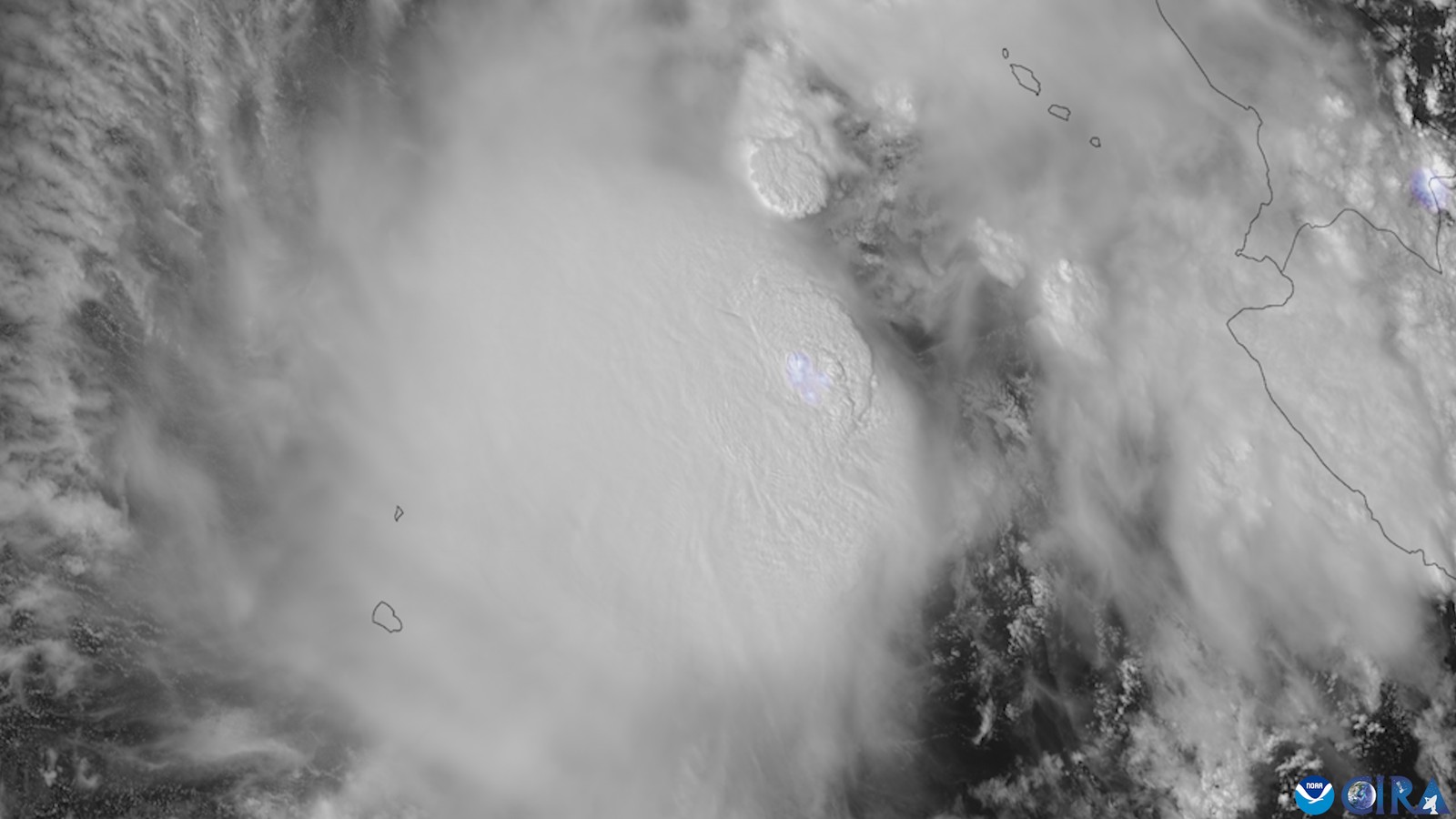
Polo strengthened into a tropical storm Sunday night in the eastern Pacific, about 270 miles south of Manzanillo, Mexico, with maximum sustained winds of 40 mph, according to the National Hurricane Center’s Sunday-night advisory. The center forecasts rapid intensification and expects Polo to become a major hurricane by the middle of the week; the advisory lists no watches or warnings.
What the hurricane center forecasts, and how sure it is
NHC’s forecast table in advisory No. 2 shows the winds rising from 40 mph now to 70 mph at 24 hours, 110 mph at 48 hours and 130 mph at 72 hours. The table holds them at 130 mph through the 96-hour and 120-hour marks. In its discussion, the center says its forecast “now shows Polo becoming a Category 4 hurricane in 72 h.” (NHC counts Category 3 and above, 111 mph or more, as a major hurricane.)
The forecaster’s stated reason, in the discussion for advisory No. 2: “Intensity-wise there appear to be few impediments in Polo’s forecast, with low shear under 10 kt, very warm 31 C sea-surface temperatures, and abundant deep-layer moisture.”
NHC’s standing note says its track errors have averaged near 100 nautical miles on day 4 and 125 on day 5, and the discussion cites “significant track uncertainty in 5 days” and says some of the hurricane-regional models are further east.
NHC’s key messages for advisory No. 2 say Polo is forecast to “strengthen and move closer to the southwestern Mexican coast as a major hurricane later this week,” though “it is too soon to determine the exact location or magnitude of impacts.”
Rain and mudslides
NHC’s first key message is about rain, and the advisory puts numbers on it: Polo is expected to produce 4 to 8 inches of rain, with isolated totals up to 12 inches, across coastal parts of Michoacán, Colima and Jalisco through Thursday. That rainfall “may produce life-threatening flooding and mudslides, especially in areas of steep terrain,” the advisory says.
The forecast track
Advisory No. 2 has Polo moving east-northeast at 5 mph. “A turn toward the east is expected on Tuesday, followed by a decrease in forward speed and a sharp turn toward the north and northwest on Wednesday,” the advisory says. The discussion ties the sharp turn to mid-level ridging over Texas and Mexico that is forecast to build in. Toward the end of the forecast period, the discussion says, it is possible Polo may get close enough to the circulation of Tropical Storm Odalys, a separate storm about 1,350 miles west-southwest of the southern tip of Baja California, to interact.
What the wind probabilities mean
NHC’s wind-speed probability product, issued at 0300 UTC Monday, gives the chance of sustained winds of at least 39 mph, 58 mph or 74 mph (hurricane force) at named places over the next five days. For Manzanillo it shows 60, 27 and 15 percent; for Lázaro Cárdenas, 43, 13 and 5; for Zihuatanejo, 29, 7 and 2. For 39 mph winds, it gives Acapulco 4 percent. NHC’s table shows Manzanillo under 1 percent through 48 hours, then a 20 percent chance that 39 mph winds begin during the 48-to-72-hour window. Those are odds, not a forecast that any place will be hit.
What to watch next
NHC says interests in Mexico should closely monitor Polo’s progress and updates to the forecast. Mexico’s national weather service issues its own bulletins and alerts. These figures are from NHC advisory No. 2, issued at 9 p.m. CST Sunday (0300 UTC Monday); later advisories will supersede them.