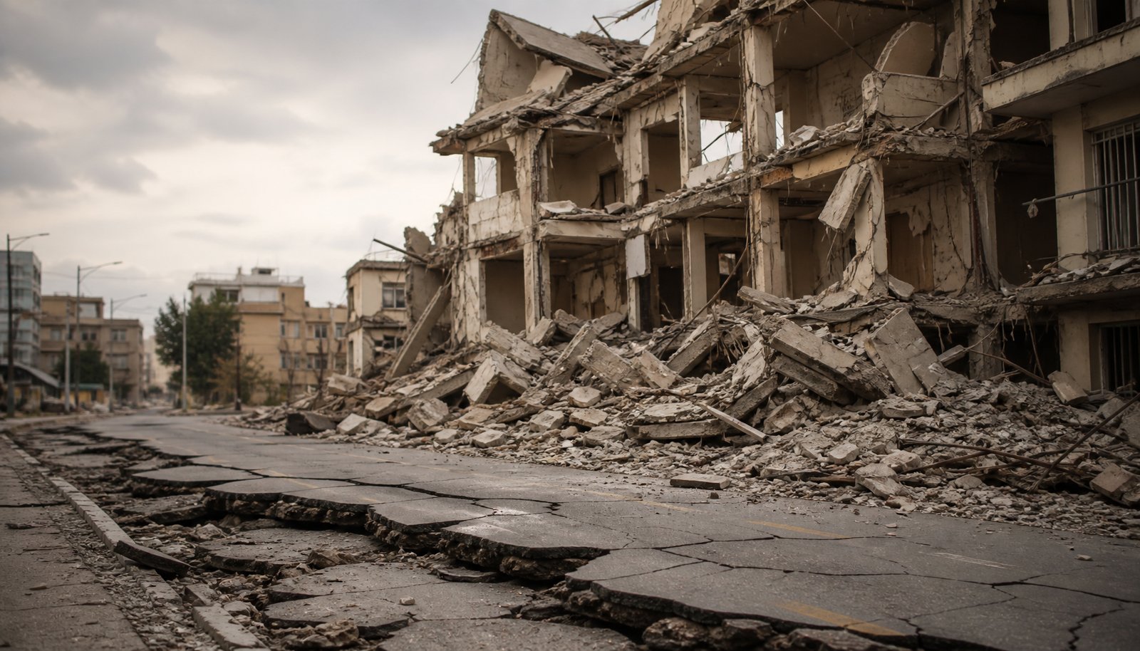
A magnitude 7.7 earthquake struck off the northern coast of Flores Island in Indonesia’s East Nusa Tenggara province early Saturday, August 15, 2026, killing dozens of people, damaging buildings across the region, and setting off a tsunami warning that was lifted a few hours later. The quake hit at 5:58 a.m. local time Saturday (5:58 p.m. Friday on the U.S. East Coast). The epicenter was about 68 kilometers (42 miles) north-northwest of the city of Ende, according to the U.S. Geological Survey, which put the depth at roughly 10 kilometers below the seafloor — a figure that differs from other agencies’ estimates, including Germany’s GFZ at about 25 kilometers and a roughly 15-kilometer estimate reported elsewhere.
Key facts
- Magnitude: 7.7, off the northern coast of Flores Island, East Nusa Tenggara province, Indonesia
- When: 5:58 a.m. local time Saturday, August 15, 2026 (5:58 p.m. Friday, U.S. East Coast)
- Epicenter: About 68 kilometers (42 miles) north-northwest of Ende, at a depth reported as roughly 10 kilometers by the U.S. Geological Survey — though other agencies’ estimates range from about 15 to 25 kilometers
- Death toll: At least 87 confirmed dead as of Aug. 22, per Indonesia’s national disaster agency (BNPB) — 1,298 injured (336 seriously), about 59,600 displaced and nearly 54,000 homes damaged — the count was still not final, and 5,688 aftershocks had struck the province by Aug. 23
- Tsunami warning: Issued for four provinces immediately after the quake, lifted about three hours later; highest wave recorded was 0.94 meters, at Maurole in Ende regency
- USGS alert level: “Yellow,” for shaking-related fatalities and economic losses
Timeline
- 5:58 a.m. Saturday, Aug. 15: Magnitude 7.7 earthquake strikes off northern Flores Island; a tsunami warning is issued for East Nusa Tenggara, West Nusa Tenggara, South Sulawesi and Southeast Sulawesi
- Within about 30 minutes: Three aftershocks strike, measuring magnitude 5.9, 5.6 and 6.1
- About 3 hours after the quake: The tsunami warning is lifted after monitoring finds no dangerous change in sea level; the highest wave recorded, 0.94 meters, is measured at Maurole in Ende regency
- By mid-morning: Indonesian monitoring has recorded more than 100 aftershocks in total, at least seven of them stronger than magnitude 5
- Later Saturday: BNPB gives an overall death toll of at least 38 confirmed dead; a subsequent BNPB update, reported by Reuters, put the toll higher still, at least 47 confirmed dead; a further Reuters report on Sunday, Aug. 16, put it at least 51 confirmed dead
- Monday, Aug. 17: A Reuters report puts the official death toll at 53 as of late Sunday, with nearly 1,600 aftershocks recorded in the province and search efforts continuing
- Monday night, Aug. 17: BNPB spokesman Berton Suar Pelita Panjaitan tells AFP the death toll has risen to 68, with more than 12,800 people displaced; search-and-rescue officials report no one still missing
- Tuesday, Aug. 18: AP News reports the toll has risen further to at least 70 dead, with nearly 1,200 injured, more than 40,000 displaced, about 12,000 homes damaged, and more than 2,100 aftershocks recorded
- Wednesday, Aug. 19: AP News reports the toll has reached at least 71 dead, with nearly 1,200 injured, more than 59,600 displaced, and more than 3,000 aftershocks recorded, as shops and services began reopening on Flores
Death toll
The death toll climbed through the day and had not settled as this article was written. Each figure below came from a different official at a different point in the day, and each later, broader figure replaces the ones before it rather than adding to them — read them as the picture coming into focus, not as a running sum.
- East Nusa Tenggara’s governor, Melki Laka Lena, said early on that five people had died from collapsing rubble.
- As search-and-rescue crews reached the port town of Maumere, in hard-hit Sikka regency, the local search-and-rescue agency reported that town’s own count: 20 dead, six injured and two people still trapped under rubble. There was no later update on whether those two trapped people were found.
- Later Saturday, Suharyanto, head of Indonesia’s national disaster mitigation agency, known as BNPB, gave the most recent overall figure: at least 38 confirmed dead, with two people in serious condition and 11 others hurt more lightly.
- A subsequent BNPB update, reported by Reuters (Dewi Kurniawati and Ananda Teresia), put the national toll higher still: at least 47 confirmed dead. Rescue teams had not yet reached Nagekeo, the region closest to the epicenter, after landslides blocked roads and disrupted communications there, officials said. A further Reuters report on Sunday, Aug. 16, citing authorities, put the toll at at least 51 confirmed dead, with 36 people seriously injured and 77 with minor injuries; about 5,000 people had been evacuated, more than 1,300 homes were damaged, and the quake had been followed by some 341 aftershocks.
- A Reuters report dated Monday, Aug. 17, citing authorities, put the official death toll at at least 53 confirmed dead as of late Sunday. The regional geophysics agency chief was quoted putting the aftershock count at nearly 1,600 by Monday, and search-and-rescue officials said there were no reports of anyone still missing.
- By Monday night, Aug. 17, BNPB spokesman Berton Suar Pelita Panjaitan told AFP the death toll had reached at least 68 confirmed dead, with more than 200 people injured and about 12,800 displaced; CBS News separately reported authorities had recorded 1,576 aftershocks into Monday.
- By Tuesday, Aug. 18, AP News reported the toll had reached at least 70 confirmed dead, with nearly 1,200 injured, more than 40,000 displaced, about 12,000 homes damaged, and more than 2,100 aftershocks recorded.
- By Wednesday, Aug. 19, AP News reported the toll had reached at least 71 confirmed dead, with nearly 1,200 injured, more than 59,600 displaced, and more than 3,000 aftershocks recorded; damage totaled at least 11,925 homes, 182 health facilities, 653 schools, 184 government offices and 173 places of worship, per Indonesia’s national disaster agency; grocery stores and gas stations began reopening on Flores even as search efforts continued.
- By Aug. 22, BNPB reported the toll had reached at least 87 confirmed dead (32 in Manggarai, 31 in East Manggarai, 14 in Nagekeo, and the remaining 14 across Sikka, Ende, Ngada and West Manggarai), with 1,298 injured (336 seriously) and about 59,600 displaced; nearly 54,000 homes were damaged in total, along with 1,378 educational facilities, 237 health facilities, 195 places of worship, 257 offices and 89 public facilities. BMKG recorded 5,688 aftershocks by Aug. 23.
That national count is the broadest and most current one available, and officials cautioned it was still not final, with search efforts continuing.
A separate event from other recent Indonesia quakes
This earthquake is a distinct event from other Indonesian quakes that have separately made news in 2026, including ones near Pacitan and in North Maluku, as well as a 2025 Sulawesi earthquake. Nothing in official reporting connects Saturday’s Flores earthquake to those earlier events.
Buildings came down across Flores
Buildings and infrastructure were damaged in several places:
- The passenger terminal at the port in Maumere collapsed.
- In Sikka regency, the roof of an assembly hall at St. Peter Major Seminary caved in during morning Mass, and students fled outside.
- An airport ceiling collapsed in Ruteng.
- Hospitals in Sikka and Ende regencies were evacuated as a precaution — where those patients went and how they were cared for afterward was not reported.
- Roads connecting Ende to both Nagekeo and Maumere were left impassable.
- Shaking strong enough to cause minor building damage and send residents running outdoors — intensity VII on the Modified Mercalli scale, the strongest reported for this earthquake — was reported in Aesesa, Riung and Mbay, towns close to the epicenter.
The U.S. Geological Survey put the quake at its “Yellow” alert level for shaking-related fatalities and economic losses, a rating meaning some casualties and damage were likely but the impact was expected to stay relatively localized. USGS-based shaking estimates cited by CNBC suggested more than half a million people on Flores Island felt very strong shaking, with moderate-to-strong shaking reaching several million more across the wider region.
In Nagekeo regency, the area nearest the epicenter, about 2,000 residents left their homes for higher ground on their own after the quake and the tsunami warning. Indonesia’s national disaster mitigation agency, BNPB, said houses, warehouses and government buildings there were damaged, without giving an overall count. As of the latest reporting, rescue teams had not yet reached Nagekeo, and disrupted phone and data service there was slowing officials’ efforts to assess the damage.
The tsunami warning came and went within hours
Indonesia’s meteorology and geophysics agency, BMKG, issued a tsunami warning covering coastlines in East Nusa Tenggara, West Nusa Tenggara, South Sulawesi and Southeast Sulawesi provinces immediately after the quake, telling residents to move away from beaches and riverbanks. About three hours later, the agency lifted the warning after monitoring found no dangerous change in sea level. The waves it recorded stayed under a meter, with the highest, about 0.94 meters, measured at Maurole in Ende regency. Lifting the warning does not mean the earthquake caused no coastal or structural damage — it means the wave threat itself had passed.
The response so far
Indonesia’s armed forces and local officials, including Governor Laka Lena, were coordinating evacuations and damage assessments Saturday. Indonesia’s state news agency, ANTARA, reported that a government figure identified only as Gibran pledged a full government response to the disaster. The U.S. Embassy in Jakarta issued a disaster alert for American citizens in Indonesia.
Be wary of viral footage
Clips claiming to show Saturday’s earthquake were already spreading online. Footage from earlier Indonesian earthquakes and tsunamis has repeatedly been mislabeled and recycled in past disasters — old video passed off as new, and clips from unrelated events attributed to Indonesia. No specific check of Saturday’s viral videos had been completed as of August 15, 2026, so treat unverified clips with caution rather than taking them at face value.
Sources and further reading
- USGS event page us6000tkt2 (M7.7, 68 km NNW of Ende, Indonesia)
- At least 47 dead in eastern Indonesia after magnitude 7.7 quake (Reuters)
- Thousands evacuate after Indonesia quake kills 51, cuts roads (Reuters)
- Search for Indonesia quake victims underway on Independence Day (Reuters)
- Indonesia earthquake death toll nears 70 as thousands wait for help on country’s Independence Day (CBS News)
- Fear grips children after deadly earthquake in eastern Indonesia leaves thousands displaced (AP News)
- Businesses reopen after eastern Indonesia earthquake displaced thousands (AP News)
- 2026 Flores earthquake — ongoing casualty and damage tracking (Wikipedia, citing BNPB/Detik.com)