As of about 12:28 AM EDT Monday (9:28 PM PDT Sunday in California), the Bouquet Fire in the Angeles National Forest northeast of Santa Clarita was listed as 48% contained at about 1,040 acres, according to the CAL FIRE incident page, which was last updated at 8:59 PM Sunday, Oct. 4. The cause is under investigation. Reports give slightly different acreage and start times, which are set out below.
The CAL FIRE page itself says this is “Not a CAL FIRE Incident.” It lists the jurisdiction as USFS – Angeles National Forest and says no incident management team is assigned. The U.S. Forest Service’s Angeles National Forest is therefore the lead agency, and MyNewsLA says the fire was fought by firefighters from the Angeles National Forest and the Los Angeles County Fire Department.
What the fire has done, and when
The sources do not agree on the exact start time, so the timeline attributes each figure to who reported it. The CAL FIRE entries below come from the page’s own incident update log, read directly. The page prints no time zone for its entries; the incident is in California, so we call them the page’s timestamps.
Saturday, Oct. 3, per the CAL FIRE log
- 3:28 PM. “The Bouquet Fire has been reported in the Angeles National Forest. The fire is 20 acres and spreading at a moderate rate.”
- 3:31 PM. “The Bouquet Fire is threatening structures and power lines.”
- 3:52 PM. Evacuation warnings were being prepared for zones LAC-E018, LAC-E020, LAC-E021 and LAC-E031.
- 3:59 PM. 100 acres. “Additional engines have been requested.”
- 4:11 PM. The first evacuation update lists orders for LAC-E018, LAC-E030 and LAC-E031, and warnings for LAC-E019, LAC-E020 and LAC-E021.
- 4:17 PM. “The Bouquet Fire is burning at a rapid rate of spread, per Air Attack.”
- 4:30 PM. Incident Command requested two additional Type 1 helicopters.
- 4:45 PM. “Air Attack has reported a possible drone sighting over the area of the fire. Flying a drone near a wildfire is a federal crime, and can cost lives. If you fly, we can’t.” The log gives no further detail, and we are not linking this entry to the cause of the fire or to any setback for firefighters.
- 4:50 PM. Mapped at 709.7 acres, with two spot fires near the main fire.
- 5:43 PM. 843 acres.
- 6:02 PM. Fixed-wing aircraft were being released for the night because of low visibility, and multiple air tankers were requested for the next morning.
- 6:55 PM. 1,000 acres.
- 8:51 PM. An evacuation shelter opened at the Castaic Sports Complex.
- 10:51 PM. 1,048 acres.
Sunday, Oct. 4, per the CAL FIRE log
- 1:21 AM. “Per radio traffic, all aircraft have departed for the evening.”
- 12:46 PM. Firefighters were battling a flare-up and residents would see more smoke. Airtankers and helicopters from the Angeles National Forest’s Fox Field were supporting suppression.
- 8:59 PM. “The Bouquet Fire is 48% contained.”
What other outlets add
- Start time. The CAL FIRE page header lists the fire as started Oct. 3 at 3:19 PM, but the first entry in its own log is at 3:28 PM. KTLA, citing Cal Fire, says it erupted at 3:19 p.m. Saturday. ABC7 says it was first reported shortly after 3 p.m. Saturday. MyNewsLA, citing an Angeles National Forest official, says it was reported at 2:16 p.m. Saturday in the 34800 block of Bouquet Canyon Road. No CAL FIRE log entry supports the 2:16 p.m. time.
- Early growth. ABC7 says the fire ballooned to 710 acres within a couple of hours, according to the Angeles National Forest. The CAL FIRE log’s 4:50 PM mapping of 709.7 acres matches that figure. ABC7 also says it reached at least 1,000 acres by 6:55 p.m., according to the Cal Fire incidents page, and the CAL FIRE log confirms that entry.
- Late Saturday. MyNewsLA reports that the Angeles National Forest announced 1,044 acres at 10:22 p.m. KTLA also reports 1,044 acres and 30% containment in a late Saturday update.
- Sunday morning. ABC7 and KTLA report 1,048 acres and 40% containment.
- Sunday afternoon. KTLA, in a story posted at 7:16 a.m. PDT and updated at 1:10 p.m. PDT Sunday, says that as of 1 p.m. Sunday the fire remained at just over 1,000 acres and 40% containment, according to Cal Fire. It also reports flare-ups and more smoke early Sunday afternoon.
The acreage figures differ slightly: 1,040 on the CAL FIRE page header, 1,044 as announced by the Angeles National Forest (relayed by MyNewsLA and KTLA), and 1,048 in the CAL FIRE log and in the ABC7, KTLA and MyNewsLA reports. We use “about 1,040 to 1,048 acres.” The containment figures (30% late Saturday, 40% Sunday morning, 48% at 8:59 PM Sunday) are from different times, not a contradiction.
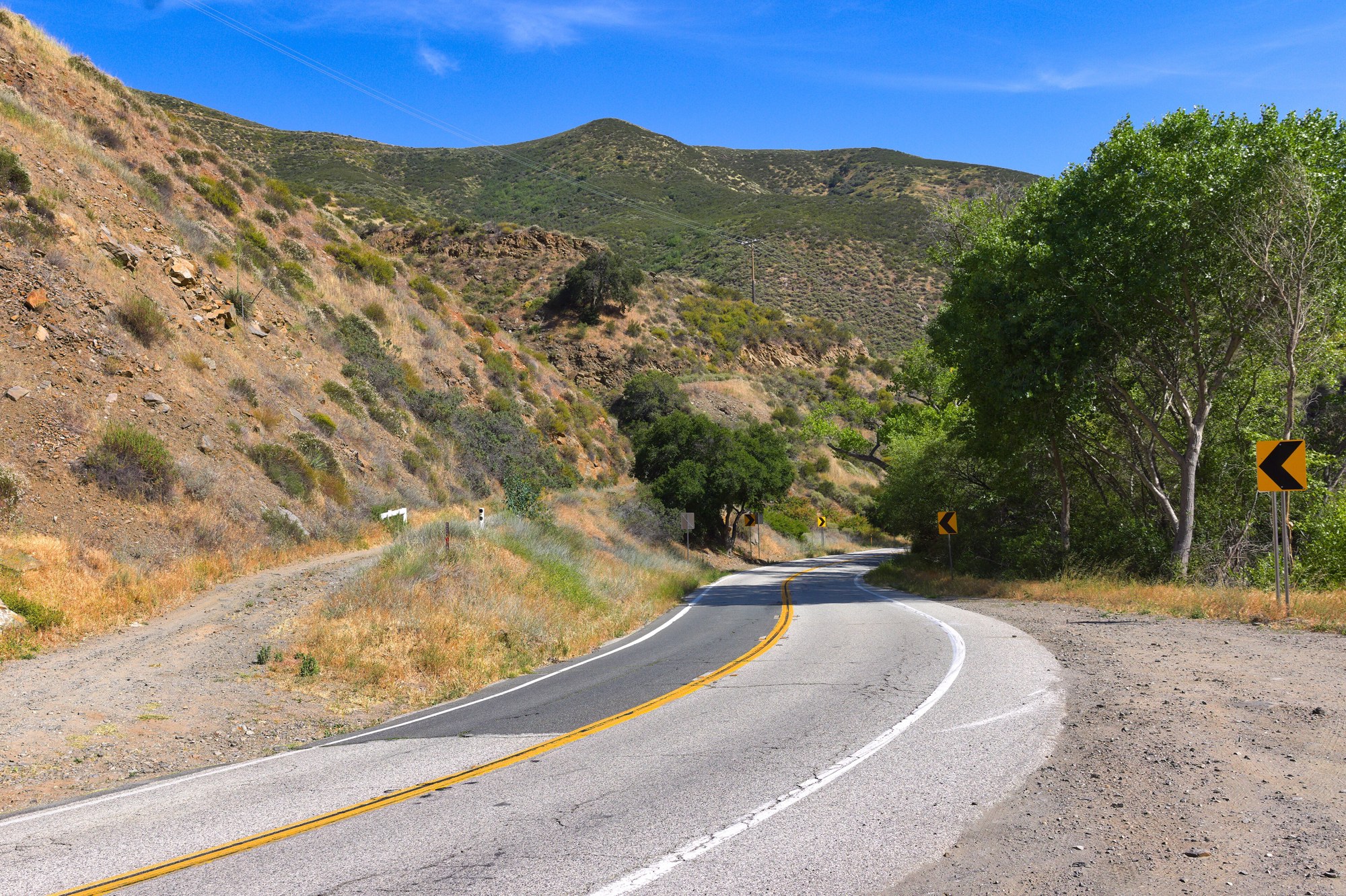
The CAL FIRE page lists the location as Bouquet Canyon Road and Quarry Road.
Two statements about structures come from different times and should be read as such. CAL FIRE’s own log says at 3:31 PM Saturday that the fire “is threatening structures and power lines.” MyNewsLA reports that “An afternoon wind shift pushed the fire toward structures along Bouquet Canyon Road, prompting requests for structure protection and resulting in evacuation orders.” Both describe Saturday afternoon. KTLA, in its Sunday reporting, says “there are not many structures in the area that are threatened by flames due to the remoteness of the fire’s location.” That is a later, Sunday statement. Evacuation orders and warnings were in effect in both reports.
MyNewsLA also reports that the night-flying helicopters had departed, as Cal Fire announced at 1:21 a.m. Sunday.
What has been ordered
According to the CAL FIRE incident page (8:59 PM Sunday update):
- Evacuation orders: zones LAC-E018, LAC-E030-B and LAC-E031-A.
- Evacuation warnings: zones LAC-E016, LAC-E017, LAC-E019, LAC-E020, LAC-E021, LAC-E029, LAC-E030-A and LAC-E031-B.
- Shelter: Castaic Sports Complex. ABC7 specifies the Community Room there. MyNewsLA says the Los Angeles County Office of Emergency Management announced the shelter at 8:27 p.m. (the CAL FIRE log’s shelter entry is at 8:51 PM Saturday).
- Road closure: Bouquet Canyon Road is closed at Vasquez Canyon Road, per CAL FIRE.
KTLA describes the closures more broadly: Bouquet Canyon Road from Spunky Canyon Road to Vasquez Canyon Road, plus the Rowher Flat Off-Highway Vehicle Area and the Drinkwater Off-Highway Vehicle Area.
One zone is not consistent across reports. ABC7 and MyNewsLA list a ninth warning zone, LAC-E030-C. It does not appear on the CAL FIRE page or in KTLA’s report. MyNewsLA says the Angeles National Forest announced the Saturday zone list at 5:55 p.m. Zone lists change quickly, and this list is not a substitute for an order from officials. Anyone told to leave by officials should follow that instruction.
No cited report gives a figure for how many people or homes are under orders, and we are not stating one.
What the heat warning says
The version of the National Weather Service Los Angeles/Oxnard Extreme Heat Warning sent at 11:04 a.m. PDT Sunday, Oct. 4 (its headline reads “Extreme Heat Warning issued October 4 at 11:04AM PDT until October 8 at 8:00PM PDT”) runs until 8:00 p.m. PDT Thursday, Oct. 8. Its listed areas include the Santa Clarita Valley. The text we have does not say when the warning first took effect.
The warning text says: “Dangerously hot conditions with temperatures reaching 90 to 100 at the coast and 106 in the valleys.” The 106 figure is the warning’s own general figure for the valleys, not a forecast for the fire area. On timing it says: “WHEN…Until 8 PM PDT Thursday.” On health it says: “Heat related illnesses increase significantly during extreme heat events.” The NWS advice is to drink fluids, stay in an air-conditioned room, stay out of the sun, and check on relatives and neighbors.
ABC7 reports: “Firefighters were braving dangerous, triple-digit heat as they tried to bring the flames under control.” ABC7 also relays a South Coast Air Quality Management District wildfire smoke advisory for areas surrounding Santa Clarita, which the district’s post dates “Saturday, October 3 – Sunday, October 4.” No cited report gives detail on how the heat affected firefighting operations, and we are not saying it did. We are also not saying heat caused the fire; no cited report does.
What is known and what is not
Known, from the sources above:
- The fire was reported Saturday, Oct. 3, in the Angeles National Forest near Bouquet Canyon Road and Quarry Road. The CAL FIRE log’s first entry is at 3:28 PM.
- It stood at about 1,040 to 1,048 acres, with 48% containment at 8:59 PM Sunday per CAL FIRE.
- Three evacuation-order zones, eight evacuation-warning zones on the CAL FIRE page (nine in the ABC7 and MyNewsLA reports, which add LAC-E030-C), a shelter and road and recreation-area closures were in place.
Reported by one outlet only:
- ABC7 reports the nearby Blue Cloud Ranch film studio, about 250 acres, and says Angeles National Forest officials told it the area last had a wildfire about 20 years ago. We could not check either point independently.
Not known, or not found:
- Cause. CAL FIRE lists it as under investigation (“Cause Under Investigation”), and no cited report names a cause. We are not stating or implying one. The Santa Clarita Valley Signal published an article headlined “Bouquet Fire at 40% containment, explosive ordnance found.” We could not open it, so we are not stating what was found or whether it relates to the cause.
- Damage and injuries. The CAL FIRE page and the ABC7, KTLA and MyNewsLA reports contain no confirmed statement on structures damaged or people hurt, and we are not making one.
- Current status beyond 8:59 PM Sunday. Containment, acreage and orders may have changed since that update.
- A red flag warning. No red flag warning appears in the reports or in the NWS warning cited here. We did not check NWS fire-weather products for this zone.
Where to check for updates
- The CAL FIRE incident page for the Bouquet Fire, for acreage, containment, zones and closures.
- The Angeles National Forest’s own posts, which ABC7 and MyNewsLA relay, for operational changes from the lead agency.
- The National Weather Service Los Angeles/Oxnard office, for the heat warning and any changes to it.