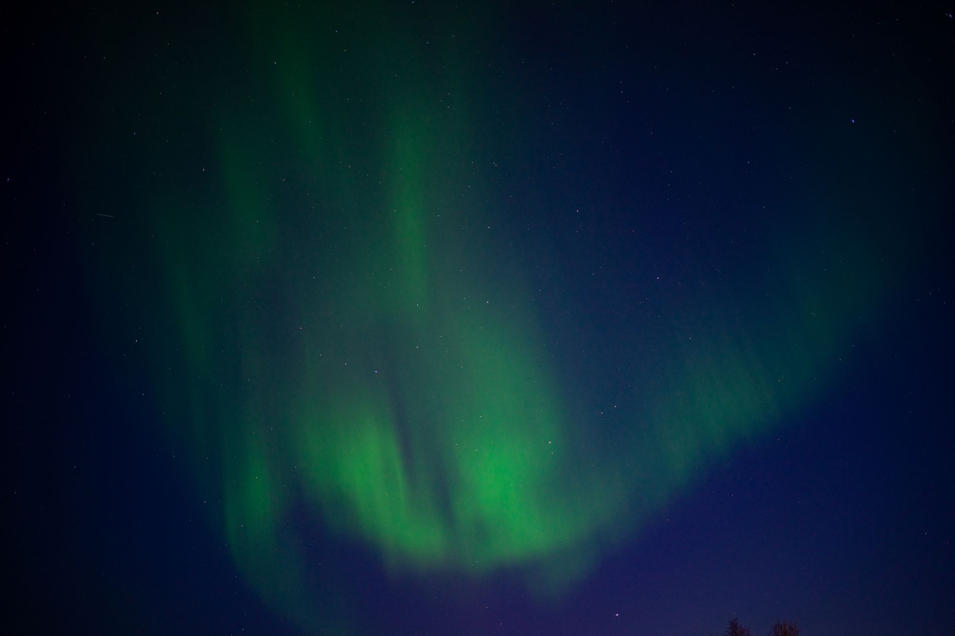
NOAA (National Oceanic and Atmospheric Administration)’s Space Weather Prediction Center has a G1 (Minor) geomagnetic storm watch in effect for Tuesday and Wednesday, September 8 and 9, 2026 — the lowest level on the agency’s five-step storm scale, but strong enough that the northern lights could show up over a handful of far-northern states if skies stay clear.
Key facts
- Storm level: G1 (Minor) — the lowest step on NOAA’s five-step geomagnetic storm scale
- Watch period: Tuesday-Wednesday, September 8-9, 2026
- Numeric peak: Kp index of 5.00, expected in the early-morning hours of Wednesday, September 9 (roughly 2-5 a.m. Eastern, 1-4 a.m. Central)
- Cause: fast solar wind plus one or more coronal mass ejections from sunspot region AR4524, which left the sun September 5-6
- Best-bet states cited in coverage: Montana, North Dakota and Minnesota; other outlets add Alaska, Wisconsin, Michigan, Maine and Vermont
- Outlook: activity forecast to drop back below storm level by Thursday, September 10
Timeline
- September 5-6: One or more coronal mass ejections left the sun from sunspot region AR4524, feeding the storm alongside a stream of fast solar wind.
- September 8 (Tuesday): NOAA’s G1 storm watch is in effect. NOAA first issued it as alert serial 1122 on September 6 at 12:12 UTC and updated it as serial 1123 on September 7 at 16:35 UTC to cover both September 8 and 9; the forecast was last updated at 12:30 a.m. UTC.
- September 9, pre-dawn (Wednesday): The storm’s numeric peak is expected — a Kp index of 5.00, right at the G1 threshold.
- September 10 (Thursday): Geomagnetic activity is forecast to drop back below storm level.
What’s driving the storm
The storm is being driven by two things arriving together, according to NOAA’s own forecast: a stream of fast solar wind flowing out of a gap in the sun’s outer atmosphere, and one or more coronal mass ejections — bursts of solar material and magnetic field flung into space — that left the sun on September 5 and 6 from an active sunspot region cataloged as AR4524. Exactly which solar flare or flares triggered those ejections is still unsettled. NOAA has said its confidence in the precise timing and strength of the incoming material is low.
The event also falls within about two weeks of the autumnal equinox. Earth’s magnetic field tends to couple more efficiently with incoming solar activity at this time of year — in plain terms, the planet’s magnetic shield lets in more of the sun’s energy than usual, which can amplify a storm’s effects. That is one reason forecasters have been watching early September closely, according to spaceweather.com.
Best time to see the aurora
For anyone hoping to catch the aurora, the practical takeaway is simple: try the dark, late-night and pre-dawn hours from Tuesday night into Wednesday morning, in the far-northern states named below, weather permitting. NOAA’s own numbers put the storm’s numeric peak in the 06:00-09:00 UTC window that morning, which works out to roughly 2 to 5 a.m. Eastern time (1 to 4 a.m. Central) — squarely inside that pre-dawn stretch. The broader G1 forecast continues through Wednesday, and geomagnetic activity is expected to drop below storm level on Thursday, September 10.
The Kp index runs from 0 to 9 and measures how unsettled Earth’s magnetic field is. NOAA expects several G1-level three-hour periods on Tuesday and Wednesday, with activity below storm level by Thursday, September 10.
The G1-level three-hour windows are spread across both Tuesday and Wednesday, and much of that stretch lines up with U.S. daytime hours. The numeric peak of 5.00, though, falls in the early-morning hours of Wednesday — so the better window for skywatchers is the dark, pre-dawn stretch of Tuesday night into Wednesday morning, when the storm is expected to be strongest.
Where you might see it
NOAA’s own aurora forecast map points to the northernmost states as the best bet for a view, naming Montana, North Dakota and Minnesota most consistently. Other outlets, including IBTimes UK, cite NOAA and the UK Met Office for a wider list of possible states, adding Alaska, Wisconsin, Michigan and several more across the northern tier, such as Maine and Vermont. NOAA cautions that a G1 storm doesn’t guarantee a visible display: clear, dark skies and a clear view north are still needed, and nobody can say in advance exactly how far south any glow will actually reach.
Forecast, not yet confirmed
As of the latest NOAA dashboard check available for this report, the storm was still mainly a forecast rather than a confirmed event. NOAA’s alerts dashboard showed “no data” in its Latest Observed G-scale field, and no after-the-fact aurora sighting reports or photos for the named states had been found. That fits with the low confidence NOAA has attached to the storm’s exact timing — NOAA issued the watch on September 6, updated it on September 7 to cover both days, and last updated its forecast at 12:30 a.m. UTC on September 8.
Could it get stronger?
IBTimes UK and the space-weather news site Watchers.news have floated a small chance the storm could tip into the next level up, G2 (Moderate), if the incoming CMEs reach Earth as forecast. NOAA’s own published numbers, though, list G1 as the top expected level for this week, and the agency’s alert feed shows no G2 watch on record for these dates.
Barring a stronger-than-expected hit, NOAA’s forecast has geomagnetic activity settling back under storm level by Thursday, September 10.