The National Weather Service’s near-term forecast for the Northeast is narrower than the headlines suggest. Forecasters at the New York, Boston and Philadelphia offices say a rain event moves through Sunday into Monday, followed by a cool, breezy week — with a separate, low-confidence chance of a coastal storm developing Thursday into Friday that could raise coastal-flood risk at high tide as astronomical tides climb ahead of the Sept. 26 full moon. That is a more tentative picture than headlines about a “long-lasting coastal storm” that “targets millions” — framing that ran ahead of what the forecast offices were actually saying as of Saturday morning.
This weekend: rain, not a storm
NWS New York/Upton (OKX), in its forecast discussion issued at 7:45 a.m. EDT Saturday, said the region should expect “widespread rain with isolated thunder Sunday into Sunday night” with only a “marginal flood threat.” The office described the event as looking “more like a stratiform rainfall event and less convective heavy rain” — stratiform meaning steady, widespread rain rather than scattered thunderstorm downpours — with total run accumulated precipitation “near or less than 2 inches for most locations.”
Boston/Norton (BOX) forecasters, in a discussion issued at 7:09 a.m. EDT, put the Sunday–Monday rainfall lower: ensemble guidance shows “a more likely range of a few tenths to around 1 inch.” Forecasters at NWS Mount Holly, N.J. (Philadelphia area), known as PHI, issued their discussion at 6:35 a.m. EDT and described a low and cold front approaching “Sunday into Monday, with rain showers likely across the region.” They put rainfall for their area at 0.1 to 1.5 inches from Saturday night through Monday, and noted a stationary front could keep rain chances going into midweek, especially for Delmarva.
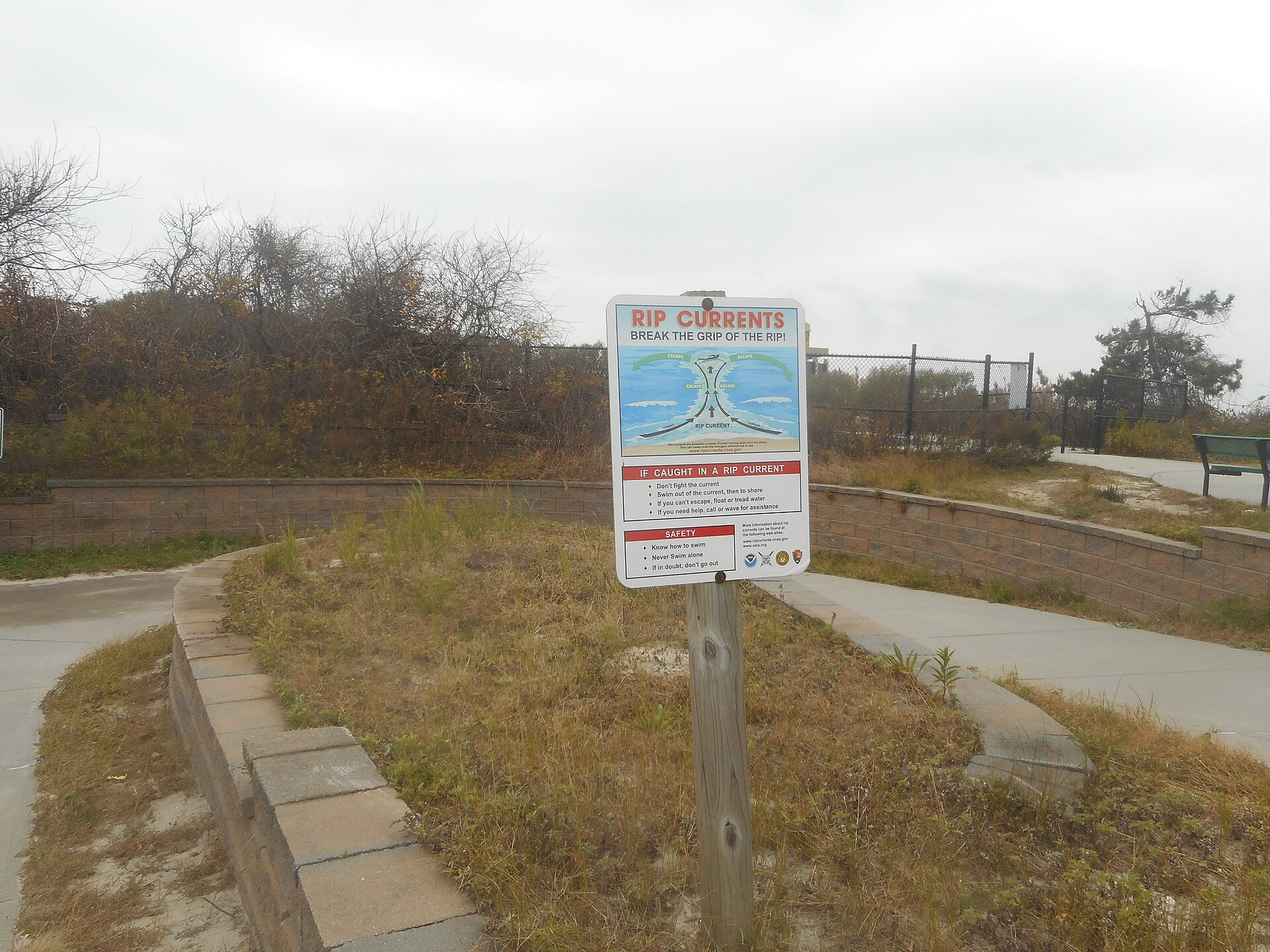
Apart from small craft advisories for boaters in some coastal waters, the one hazard in effect on land Saturday is a rip current statement for Eastern Essex, Suffolk, Eastern Norfolk, Eastern Plymouth, Barnstable and Nantucket counties in Massachusetts, running until 8 p.m. Saturday. As of the Saturday morning check, no coastal flood watch, coastal flood advisory, wind advisory or high surf advisory had been issued anywhere from Maine to Maryland.
Next week: cooler, breezier, and a storm to watch — not yet forecast with confidence
Behind Sunday’s rain, OKX forecasters expect “breezy and cool conditions” mid to late next week, with temperatures running below seasonal norms and a “persistent cool and breezy east to northeast flow regime” bringing gusts of 30 to 40 mph possible on land. BOX likewise described a cooler air mass “supporting cool more fall-like temperatures continuing through the week.”
The bigger question is a possible coastal low pressure system. BOX forecasters were explicit about the uncertainty in their computer models — deterministic and ensemble guidance are different types of model forecast runs: “Deterministic and ensemble guidance continues to hint at the potential for a coastal low pressure system sometime Thursday into Friday. However, there is still a fair amount of uncertainty in the details of the pattern that will influence the track of this low. Some solutions feature a low track closer to southern New England while others well off shore. Pretty low confidence at point, but warrants monitoring.”
PHI framed the same system as a “closed low” — a low-pressure system cut off from the main jet stream that can stall — that “could develop off our coast by Thursday, potentially bringing another chance for rain, and increasing the risk for coastal flooding,” adding that “the closer the track of this low is to the coast, the more likely our region is to see rain, and gusty winds in the Thursday and Friday time period.” Both PHI and OKX tied the flood risk to timing: the full moon falls Saturday, Sept. 26, and PHI said “persistent onshore flow Thursday and Friday will only increase the risk as astronomical tides increase ahead of the full moon” — astronomical tides being the normal tide cycle, which runs higher around a full moon. OKX described the potential outcome, if the setup materializes, as “minor to moderate coastal flood and shoreline impacts” at high tide, with no coastal flood watch issued for that period as of Saturday morning.
How that compares with the headlines
FOX Weather’s article, published at 5:35 a.m. EDT Saturday, was headlined “Long-lasting coastal storm targets millions across the Northeast, ushering in the changing of the seasons,” and its page title read “Powerful coastal storm could kick off fall pattern across the Northeast.” Its first line placed the potential storm “next week.” But the story’s own text is more measured than its headline: “The timing, location and intensity of the potential storm remain uncertain, though impacts could begin late Tuesday and continue through Friday.” That caveat lines up with what NWS offices are saying — a system worth watching, not yet a storm with a confirmed track, intensity or coastal-flood watch attached.
What to watch
- Check your local NWS office’s forecast discussion for updates as the Thursday–Friday system comes into better focus.
- Watch for any coastal flood watch or advisory from your local NWS office; none had been issued as of Saturday morning.
- High-tide timing matters most for any coastal flooding risk, given the approaching Sept. 26 full moon.
- Rip currents are an active hazard today along the eastern Massachusetts coast through 8 p.m.