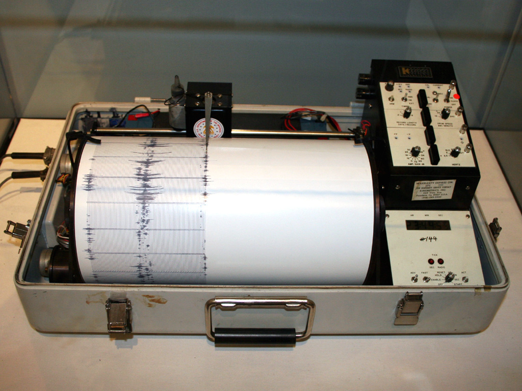
In Alameda, one resident described the shaking as “a good jolt” that “almost lasted long enough to get concerned.” That was one of many reactions across the East Bay after an earthquake struck near the Oakland-San Leandro border at about 8:30 a.m. PDT on Thursday, August 13, 2026, according to the U.S. Geological Survey. The agency’s reviewed reading puts the magnitude at 3.8. No damage or injuries had been reported as of Thursday’s latest updates.
Key facts
- Magnitude: 3.8, revised down from an initial estimate of 4.1 issued in the first minutes after the shaking
- When: About 8:30 a.m. PDT, Thursday, August 13, 2026
- Where: About 2.5 miles north of San Leandro, inside Oakland near Interstate 580
- Depth: Roughly 3.2 miles
- Fault: On or near the Hayward Fault
- Felt in: San Leandro, Oakland, Berkeley, Alameda, Hayward, Fremont, Union City, Livermore, San Francisco, San Mateo and Half Moon Bay
- Damage or injuries: None reported as of Thursday’s latest updates
- Aftershocks: Magnitude 3.0 and 2.8 about 37 minutes later, plus a smaller magnitude 1.7 aftershock roughly half an hour after that
Where the shaking was felt
The quake was centered about 2.5 miles north of San Leandro, inside Oakland near Interstate 580, at a depth of roughly 3.2 miles, USGS said. Shaking from it was reported over a wide area: San Leandro, Oakland, Berkeley, Alameda, Hayward, Fremont, Union City, Livermore, San Francisco, San Mateo and Half Moon Bay. USGS classified the intensity across most of that area as weak to light. In social media posts, Berkeley residents described the shaking as a “side to side strong rocking,” while others there called it just a “mild shake.”
The Hayward Fault
The epicenter sits on or near the Hayward Fault, which runs from San Pablo Bay south through the East Bay to Fremont. The fault hasn’t produced a major rupture – magnitude 6.7 or greater – since 1868, and seismologists often describe it as overdue for one, measured against an estimated recurrence interval of about 150 to 160 years. That is long-standing background about the fault itself, not a forecast tied to Thursday’s magnitude-3.8 event.
Aftershocks and other nearby activity
Two aftershocks followed the mainshock about 37 minutes later, around 9:07 a.m. PDT: a magnitude 3.0, then a magnitude 2.8 just four seconds after it, both within about two miles of the original quake. USGS’s catalog also logged a third, smaller aftershock, magnitude 1.7, about half an hour after those two. Whether more aftershocks are likely from here is an open question – no USGS aftershock forecast for this sequence has been reported.
USGS also logged a separate, smaller magnitude-2.2 quake in almost the same spot the previous evening, around 8:26 p.m. Wednesday, catalogued in USGS’s records as its own distinct event from Thursday morning’s quake.
Why the magnitude estimate changed
The magnitude estimate moved twice in the first half hour – from an initial estimate of 4.1, issued in the minutes right after the shaking, to an intermediate 3.9 reported by KQED, then to the reviewed reading of 3.8 – which is normal for how USGS works. A computer system produces the first number automatically from limited data, and that number gets refined as more seismic readings come in.
BART service
BART (Bay Area Rapid Transit) briefly held trains as the shaking hit, then ran them at reduced speed while crews checked the tracks. The inspections found no problems, and normal service resumed – though riders could still expect trains running up to 20 minutes late across the system.
Earthquake early-warning system
The region’s earthquake early-warning system, ShakeAlert, sent its first internal alert message about 3.7 seconds after the quake began, KQED reported – a step in the system’s own detection process, separate from the public wireless alerts that go out to phones during bigger quakes. KQED also reported that this quake’s estimated magnitude fell short of the 5.0 threshold required to trigger one of those public alerts.
How to check what USGS recorded
Want to check what USGS recorded near you, or log what you felt? USGS logs earthquakes at earthquake.usgs.gov, where this one is catalogued as event nc75417557, and its Did You Feel It form lets residents report the shaking they experienced.
Sources and further reading
- USGS event page nc75417302 (M2.17, evening of 2026-08-12)
- USGS event page nc75417582 (M2.82 aftershock)
- M 4.1 – 4 km N of San Leandro, CA (event page)
- USGS event page nc75417577 (M2.99 aftershock)
- earthquake.usgs.gov
- USGS FDSN event query, raw text, 2026-08-10 to 2026-08-13, epicentral box
- USGS FDSN event query, raw text, 2026-08-13 15:00-16:30 UTC, Bay Area box
- 3.8 Magnitude Earthquake Rattles San Francisco and the East Bay (KQED)