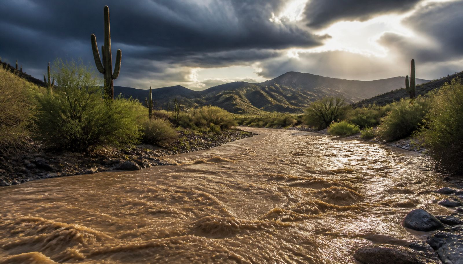
A Flood Watch is in effect Monday, Aug. 31, 2026, across the Tucson area and the Tohono O’odham Nation after a night of monsoon thunderstorms that already dropped as much as 1.65 inches of rain on parts of the region, with forecasters saying up to another inch could still fall before the day is over.
The National Weather Service’s Tucson office issued the watch at 5 a.m. MST Monday for the Tohono O’odham Nation, including the city of Sells, saying it would stay in effect “through this evening.” That watch built on one already in place: the Tohono O’odham Nation had been under a flood watch since Sunday morning, and NWS renewed and expanded it at 5 a.m. Monday. Local station KOLD separately reports flood watch coverage extending to Central Pima County, which includes the Tucson metro area, and a small part of Pinal County, running until about 10 p.m. Monday. A Flood Watch means conditions are in place for flooding to develop; it is a step below a Flash Flood Warning, which means flooding is already happening or is about to.
The event included at least seven separate Flash Flood Warnings between Sunday afternoon and early Monday morning, plus a separate Minor Flood Advisory around 5:39 a.m., during a sustained, multi-cell overnight monsoon event.
Key facts
- Flood Watch in effect: Monday, Aug. 31, 2026, for the Tucson area and the Tohono O’odham Nation
- Rain so far: up to 1.65 inches at the AZGFD 3 gauge, 1.57 inches at Diamond Bell Ranch
- More rain possible: up to another inch, with isolated totals of 1–3 inches through the day
- Tohono O’odham Nation watch: runs “through this evening” (issued 5 a.m. Monday)
- Tucson-area watch (per KOLD): covers Central Pima County and part of Pinal County until about 10 p.m. Monday
- Overnight warnings: at least seven Flash Flood Warnings plus one Minor Flood Advisory since Sunday afternoon
- Injuries or deaths: none confirmed tied to this weekend’s flood watch and warnings as of Monday morning
- Forecast high: about 94°F, with roughly a 50% chance of storms
Timeline
- Sun. Morning, Aug. 30: Flood watch begins for the Tohono O’odham Nation.
- Sun. Afternoon – early Mon.: At least seven Flash Flood Warnings issued as storms repeat over the same ground.
- Mon. Around 4 a.m.: A Flash Flood Warning effective roughly 4–7 a.m. MST covers Three Points, Tucson Estates, Tucson Mountain Park and the Ryan Airfield area.
- Mon. Around 5:39 a.m.: Minor Flood Advisory issued.
- Mon. 5 a.m.: National Weather Service renews and expands the Flood Watch for the Tohono O’odham Nation, in effect through the evening.
- Mon. (per KOLD): Flood watch also covers Central Pima County and part of Pinal County, until about 10 p.m.
- Mon., rest of day: Additional scattered thunderstorms expected, isolated totals of 1 to 3 inches possible.
How much rain has fallen, and how much more is coming
Two rain gauges in the watch area show just how much came down overnight. One, known as AZGFD 3, recorded 1.65 inches. Another, at Diamond Bell Ranch, recorded 1.57 inches. The National Weather Service said up to another inch could still fall on top of that. The rain fell fast at times: one pre-dawn warning clocked 1.22 inches at the AZGFD 3 gauge, 0.98 inches at Diamond Bell Ranch, and 0.83 inches at a gauge on Altar Wash near Highway 286, all in the same 30 minutes.
Because storms already soaked the ground on Sunday, Aug. 30, the Weather Service says washes, creeks and low spots in roads are responding to new rain faster than they would if the ground were dry — filling and overflowing sooner.
For the rest of the day, forecasters expect another round of scattered thunderstorms, with rainfall rates topping an inch an hour in the strongest cells and isolated totals of 1 to 3 inches. The high is expected to reach about 94°F, with roughly a 50% chance of showers or thunderstorms.
Where the risk is concentrated
One of the early Monday Flash Flood Warnings, issued around 4 a.m., covered Three Points, Tucson Estates, Tucson Mountain Park and the area around Ryan Airfield, along with stretches of Route 86 (between mile markers 146 and 160) and Route 286 (between mile markers 25 and 45). It named several washes at risk of flash flooding, including Altar Wash — the same one gauged near Highway 286 — plus Cerro Prieto and Soto Wash, among others.
No injuries reported so far
As of Monday morning, no deaths or injuries had been confirmed as tied to this weekend’s flood watch and warnings specifically, and available reporting did not confirm whether any specific roads, schools or Tucson International Airport were closed or affected as a direct result of these storms. The Weather Service’s standard flood safety guidance was echoed in local coverage: don’t drive or walk into flooded roads or washes. As little as six inches of moving water can sweep a vehicle off the road — the agency’s advice, repeated in this event’s warnings, is simple: turn around, don’t drown.
Watchers.news reported around July 21 that an earlier flooding event in Nogales and Tucson had killed at least seven people. The report described that event as separate from the Aug. 30-31 watch-and-warning sequence; the available reporting here does not establish whether the storm systems were connected.
When the watch is expected to end
The Tohono O’odham Nation portion of the watch is set to run “through this evening,” per the official Weather Service product issued at 5 a.m. Monday. KOLD reports the watch covering Tucson and part of Pinal County runs until roughly 10 p.m. Monday, and that forecasters extended the flooding hazard further into the day because more storms were possible — an exact end time for that extension wasn’t specified. Anyone in the area can check the National Weather Service’s Tucson office for the latest as conditions change through the day.
What’s next
Local forecasters expect thunderstorm activity to turn “very isolated” for much of the rest of the week, with another round of storms possible again by the weekend.