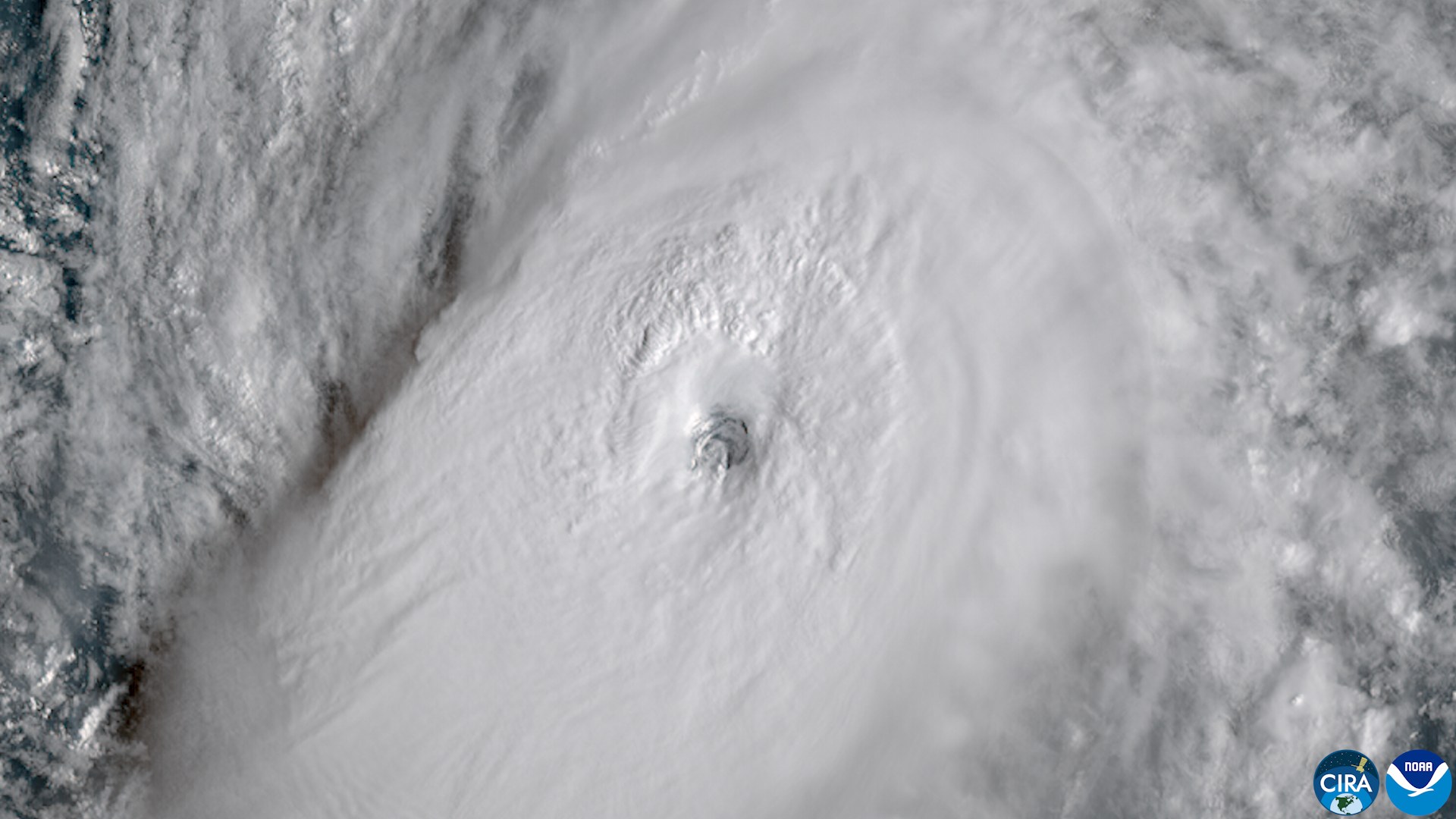
As of Advisory 55 (11 p.m. HST Saturday, Oct. 3; 5 a.m. EDT Sunday, Oct. 4), Hurricane Nolo has maximum sustained winds of 110 mph and is expected to cross the International Date Line on Sunday, according to the Central Pacific Hurricane Center.
What the official numbers say now
The center was near 23.6 North, 176.7 West, about 240 miles southwest of Lisianski Island, moving west at 18 mph, with a pressure of 963 millibars.
The advisory says: “There are no coastal watches or warnings in effect.” It does flag surf: “The surf will likely inundate some of the low-lying atolls from Maro Reef to Lisianski Island.” The advisory’s surf hazard statement covers the Papahanaumokuakea Marine National Monument. We found no report of people, damage or evacuations there.
A storm with a long record
Dates in this paragraph are UTC. Nolo’s advisory archive begins Sept. 13 with a weak system whose advisories stop after Sept. 16 (the archive does not say whether it is the same circulation). Advisories restart Sept. 23; Nolo became a hurricane Sept. 25, peaked at 135 knots (about 155 mph) and 929 millibars on Sept. 28, was a tropical storm again by Sept. 30, and regained hurricane strength on Oct. 2.
Advisories 53 and 54 put winds at 100 knots, or 115 mph. AP reported on Oct. 3 that Nolo had reached Category 3 with 115 mph winds. Advisory 55 lowers the estimate to 95 knots, or 110 mph, while an eyewall replacement cycle plays out: the discussion says the outer eyewall is solidifying and the inner eyewall is no longer observed.
What forecasters know and do not know
The advisory says Nolo “is forecast to begin intensifying again over the next day or two, followed by abrupt weakening by the middle of the week.” The discussion shows a 115-knot (130 mph) peak about 36 hours out, then 65 knots (75 mph) by 8 p.m. HST Tuesday, Oct. 6.
The intensification is conditional (“Assuming the current ERC completes cleanly over the next 6-12 h”). The stated reason for weakening: “After 48 h, a very amplified upper-level flow pattern induced by recurving Typhoon Choi-Wan will lead to an abrupt increase in northeasterly shear over Nolo.” The discussion adds that “this shear could lessen somewhat, but it is possible Nolo will continue to struggle as it remains embedded in a very dry mid-level air environment.”
The Date Line
The advisory says Nolo “should cross the International Date Line by midday Sunday Hawaiian Time.” The Weather Channel reported on Oct. 2 that after the crossing the storm becomes a “typhoon” by geography alone, keeps its name, and that “Official tracking responsibility transfers from the Central Pacific Hurricane Center to the Japan Meteorological Agency and the Joint Typhoon Warning Center.” The NHC text we read does not say this, and we did not open a JMA or JTWC page.
Elsewhere in the Pacific
Separately, Hurricane Rachel was about 280 miles southwest of the southern tip of Baja California in Advisory 29 (2 a.m. MST Sunday), with maximum winds of 100 mph. The advisory says swells “are likely to cause life-threatening surf and rip current conditions” along west-central Mexico and the Baja California Peninsula.
What we did not find
Advisory 55 lists no watches or warnings, but earlier advisories did. Advisory 15 (11 p.m. HST Sept. 23) had a hurricane watch for Hawaii County. By Advisory 26 (5 p.m. HST Sept. 26) the tropical storm warning for Hawaii County had been discontinued and the forecast track kept the center “well south and southwest of the main Hawaiian Islands.” AP wrote on Oct. 3 that “No threat was in the forecast for any populated islands” and that Nolo “skirted Hawaii as a hurricane a week ago.”